


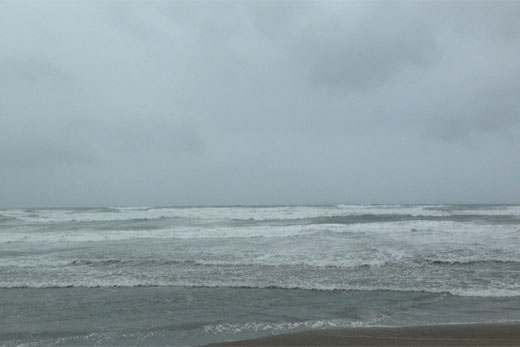
Bay of Plenty residents are encouraged to stay away from the sea, as Tropical Cyclone Pam threatens what Mount Maunganui Lifeguard Service general manager Glenn Bradley is calling the largest and strongest swells seen come in from the north for a number of years.
Residents are encouraged to stay away from the water. Photo: file.
A severe weather warning remains in place for the Bay of Plenty, as MetService predicts a period of heavy rain from this evening until Monday evening.
In the 27 hours from 6pm tonight until 9pm Monday, a heavy rain fall of 120mm to 140mm is expected to accumulate over Eastern Bay of Plenty.
Southeast winds are expected to rise to gale tonight, with severe southeast gales with gusts of 120 km likely on Monday.
Mount Maunganui Lifeguard Service general manager Glenn Bradley urges residents to exercise extreme caution around the exposed beaches and coastal areas during the next 24 to 48 hours, as the full force of the cyclone comes in.
'Given the forecast we suggest that nobody goes out and tries to tackle the storm,” says Glenn. 'On the back side of it, Tuesday afternoon and Wednesday could be some really good surf condition.”
But at this stage, surf lifeguards are warning everybody to stay out of the water.
'Were just urging anybody who's close to the coast to take extra care. The direction of some of the swells that we're expect to see are coming down from a northerly direction very high surf and a really strong storm surge.
'It's pretty safe to say that certainly it will be the largest and strongest swells that we've seen particularly come in from that northern direction for a number of years.”
Tauranga Coastguard operations manager Simon Barker is also encouraging people to be cautious.
'It's probably a good idea today not to head out to sea at all. Although it looks quite nice this morning, we suspect it's going to pick up a fair bit during the day.”
Simon says anybody with a boat on a marina or mooring needs to be confident that the boat is safe and secure.
'We need to just make sure everything is tied down and things need to be checked as much as they can. They're predicting an excess of six metre swell but it's going to be a case of juts watching what happens. It's certainly not the place to be out at sea.”
Severe southeast gales and heavy rain for north-eastern parts of the north island Tropical Cyclone Pam, currently 800km north of Cape Reinga, is forecast to track south-eastwards today and pass east of New Zealand during Monday and Tuesday.
Weather update:
Strong southeast winds and rain are expected over much of the North Island tonight and Monday, along with extremely large seas about the east coast.
Around 200mm of rain is expected to accumulate about Gisborne, the ranges of northern Hawkes Bay and Eastern Bay of Plenty, with lesser but still significant amounts near the coast of northern Hawkes Bay and the hills and ranges further south. Also, around 90mm of rain is expected to accumulate about eastern Northland in an 18 hour period.
MetService warns rivers and streams in these areas will rise rapidly, and localised surface flooding and slips are likely as well as hazardous driving conditions.
In addition, severe southeast gales are likely about Eastern Northland, Great Barrier Island and Coromandel Peninsula from this evening until early Monday morning. Strong winds are also forecast about northern Hawkes Bay, Gisborne and Bay of Plenty for much of Monday, with gusts of 120 km in exposed places, but 160 km or possibly more about Eastern BOP and northern parts of Gisborne. Winds of this strength are likely to cause damage to trees and power lines and could lift roofs and make for hazardous driving conditions.
This is a developing situation and people are advised to stay up to date with the latest forecasts as further areas may be added to this warning.
Heavy rain warning:
Area/s affected: Gisborne and the ranges of Eastern Bay of Plenty
Forecast:
A period of heavy rain is expected from Sunday evening until Monday evening. In the 27 hours from 6pm Sunday until 9pm Monday, expect 120mm to 140mm to accumulate, but 180mm to 220mm about the ranges and in places north of Gisborne City. Peak intensities 30mm/hr.
Area/s affected: Hawkes Bay
Forecast:
A period of heavy rain is expected from Sunday evening until Monday evening, especially about the ranges and places north of Napier. In the 24 hours from 9pm Sunday until 9pm Monday; north of Napier, expect 180mm to 200mm to accumulate about the ranges with 100mm to 140mm near the coast, and south of Napier, expect 100mm to 140mm to accumulate about the ranges and coastal hills. Peak intensities 25mm/hr about the northern ranges.
Area/s affected: Eastern Northland
Forecast:
A period of heavy rain is expected from midday Sunday until Monday morning. In the 18 hours from midday Sunday until 6am Monday, expect 80mm to 100mm to accumulate. Peak intensities 20mm/hr.
Strong wind warning
Area/s affected: Bay of Plenty especially east of Edgecumbe
Forecast:
Southeast winds are expected to rise to gale tonight, then to severe gale for a time during Monday. Between 1am and 10pm Monday expect severe southeast gales gradually turning southerly, with gusts of 120 km/h likely but 160 km/h or possibly more in the east.
Area/s affected: Eastern Northland, Great Barrier Island and Coromandel Peninsula
Forecast:
Southeasterlies are expected to rise to gale this afternoon, then to severe gale gusting 120km/h this evening, before tending southerly and weakening Monday morning.
Area/s affected: Gisborne and the Wairoa district of Hawkes Bay
Forecast:
Southeast winds are expected to rise to gale tonight, then to severe gale for a time during Monday. Between 1am and 11pm Monday expect severe southeast gales gradually turning southerly, with gusts of 130 km/h likely but 150 km/h or possibly more north of Gisborne City.

0 comments
Leave a Comment
You must be logged in to make a comment.