The home of SunLive at No 1 The Strand is one of only two Tauranga buildings able to be viewed in 3D on Google Earth.
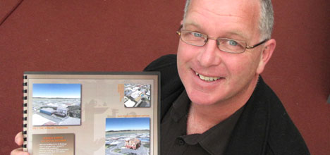
The modelling is by David Johnson from VisualCAD Limited.
He presented the models of No 1 The Strand and the old Tauranga post office to Google, and they are now live on Google Earth for the whole world to see.
3D modeller David Johnson.
Seeing the buildings in 3D requires an up-to-date version of Google Earth and having the 3D buildings layer turned on.
When you click on No.1 The Strand on Google Earth, there is a direct link to www.sunlive.co.nz.
This building and the Old Tauranga Post Office are the only two buildings represented in Tauranga.
'It's all part of Google Earth's intention, which is basically to model the whole world in 3D,” says David.
Google provides the software which enables the 3D modelling of structures, says David.
'They have a professional version which I use, but anybody using the free version can do what I have done – if they have got the inclination to learn how to do it.”
David has been in the surveying industry for 10-12 years and is now a professional CAD designer.
'The Tauranga models were acceptable to Google Earth because they are two of the few remaining historic buildings in Tauranga,” says David.
'They are reluctant to do industrial buildings and there are limitations about signage.”
The models are produced using a combination of floor plans and photographs in a process that takes 6-10 hours per building.
'You bring that down quite substantially if you practice hard. The more you do the more shortcuts you will find.”
David's also been modelling the Karapiro Domain, the site of the 2010 World Rowing Championships, to different grandstand options for the site.
The models enables crowd flow to be sorted before anything is built and also ensures the buildings and grandstands do not block views of other spectators.
The modelling can also be used in conjunction with building plans to work out shading and David says he's also worked in horticulture, producing orchard shading plans to assist a thinning programme.
'An exciting development is that Google Earth has very recently included high resolution photography from the Bay of Plenty Territorial Authorities,” says David.
'This has enhanced the Google Earth experience even more.”
Davids website can be viewed at www.visualcad.co.nz

0 comments
Leave a Comment
You must be logged in to make a comment.