
Settled weather is set to persist through the week over New Zealand as a high-pressure system sits over the country.
After wetter conditions over the past few weeks, some may welcome the return of calmer, drier weather.
“This week is a great time to enjoy outdoor activities, especially while some are still busy at school, as clear skies and light winds are expected for most regions,” said MetService meteorologist Oscar Shiviti.
“The fine weather this week does come with a downside of cold, frosty mornings.”
The clear skies and calm conditions from the high-pressure system, allow for temperatures to drop overnight, particularly in inland areas.
Monday was especially chilly, “with Christchurch recording its coldest July temperature so far at -3.8°C, and Taumarunui reaching its lowest temperature of the year at -3.6°C”.
These frosty starts are expected to continue throughout the week, especially in the Mackenzie District as well as in Otago, which may experience the coldest mornings, with possible fog.
Twizel drops to -5°C on Tuesday and Wednesday morning, while inland parts of Dunedin wake up to a frosty -3°C.
While the coldest temperatures will be in the South Island, “frosty conditions are expected widely across the North Island too, even parts of the Auckland region could wake up to a touch of frost on Tuesday morning”.
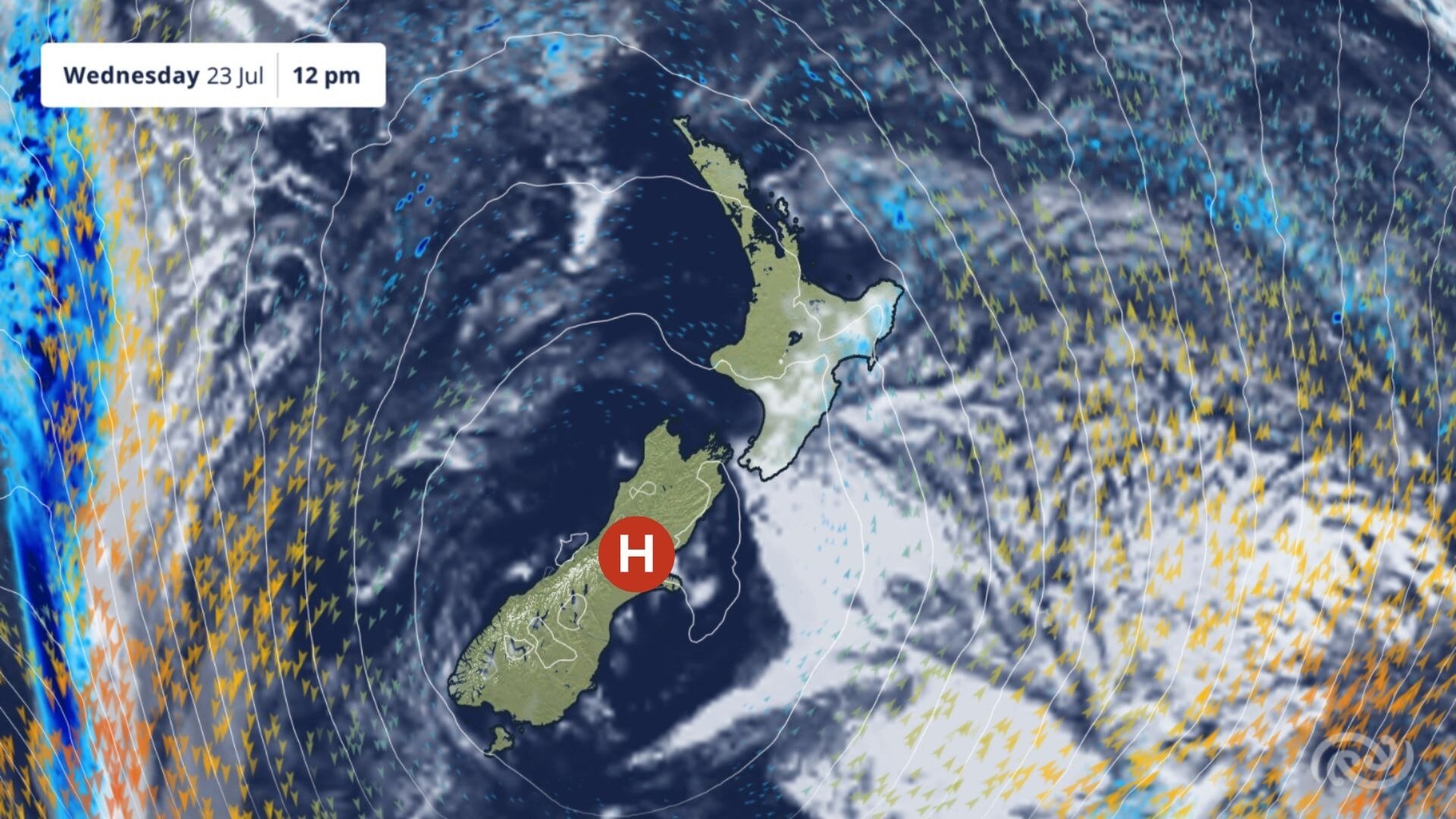
A forecast weather map for Wednesday, June 23. Image / MetService
Although most of the country will stay dry, there are still areas that could see rain.
The east of the North Island, such as Tairāwhiti Gisborne and Hawke’s Bay, sees cloudier and showery conditions through to Wednesday night due to southeasterly winds bringing moisture in from the ocean.
Later in the week, a front is expected to approach from the Tasman Sea, meaning a chance of a shower in the southwest of the South Island for Thursday afternoon.
Showers and rain should become more pronounced in Fiordland by Friday as the front arrives.

0 comments
Leave a Comment
You must be logged in to make a comment.