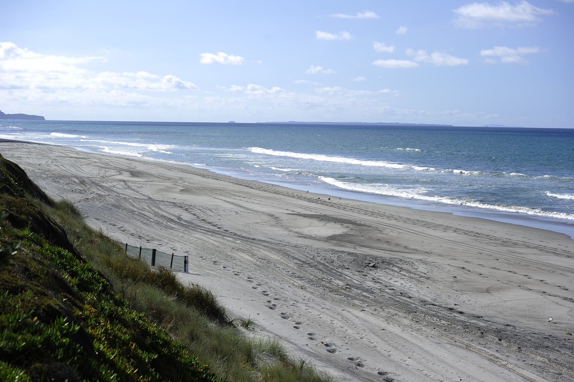
New and updated coastal erosion maps are now available for the Western Bay of Plenty district. This includes new maps for Matakana Island, parts of Tauranga Harbour not previously mapped, Maketū, Waihī Estuary, and east of Pukehina to Ōtamarākau, and updated maps for Waihī Beach and Pukehina.
Western Bay of Plenty District Council acting general manager strategy and community, Emily Watton, said this new information improves understanding of the risks that sea level rise could create and how the district’s open coastlines and harbour and estuary margins may respond to those potential changes over the coming 100 years.
“Improving the accuracy of hazard maps, like these, is more critical than ever due to the increasing legislative requirements around climate change, the need to reduce natural hazard risk, and ensuring preparedness and response to natural disasters.
“The mapping information will help people make informed decisions about undertaking building works, buying property or preparing for a natural disaster.”
The district council and the Bay of Plenty Regional Council have been updating the natural hazards maps for the District over the past few years.
This is because of changes to the Resource Management Act and Bay of Plenty Regional Policy Statement, which have brought in new requirements relating to how councils manage natural hazard risks, Watton said.
The coastal erosion maps show the possible extent of erosion, taking into account the possible effects of climate change, including sea level rise, that may occur by the years 2080 and 2130.
The reason for selecting a timeframe out to the year 2130 – at least 100 years from now –and taking into account climate change, is because the New Zealand Coastal Policy Statement requires potential coastal hazards to be identified in this manner.
Previous coastal erosion maps for Waihī Beach and Pukehina, in 2015, used the timeframes of 2065 and 2115.
Other hazards being investigated include flooding from extreme rainfall, coastal inundation – flooding from the sea – land instability, liquefaction, tsunami, and active faults.
As the mapping of each hazard is completed, landowners are notified and the information is put on the council’s website, property files and in any Land Information Memoranda (LIMs) requested for properties.
The council also uses the maps when processing resource consents, project information memoranda and building consents, to ensure that the risk from natural hazards to people and buildings is assessed.
Letters have been sent to landowners affected by the latest coastal erosion maps and the new information has been included on council’s Natural Hazards webpage at: westernbay.govt.nz/naturalhazards.

0 comments
Leave a Comment
You must be logged in to make a comment.