With observed activity at Whakaari decreasing in recent weeks, GeoNet is lowering the volcano’s alert level.
In an update on its website, GeoNet said the volcanic alert level is lowered to two and the aviation colour code to yellow.
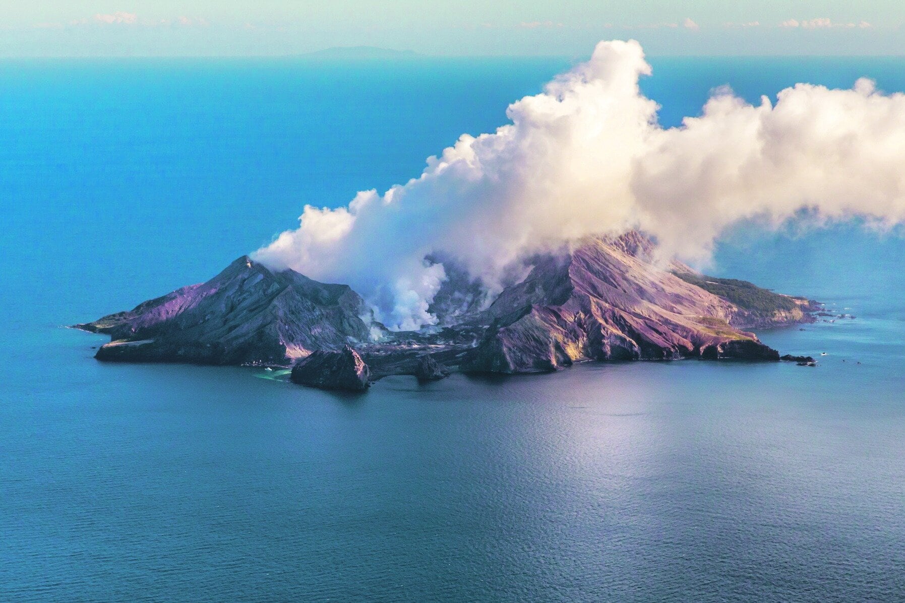
This has been based on observations in recent weeks, including webcam and satellite imagery, no further ash emissions have been detected at Whakaari/White Island.
“Since 17 April, Whakaari/White Island was undergoing a minor volcanic eruption,“ said duty volcanologist Oliver Lamb.
“This was primarily based on satellite detections of volcanic ash from the island.
“Observations from GeoNet cameras in the Bay of Plenty and satellite imagery over the past four weeks and a monitoring flight on Monday has confirmed the eruption has stopped, with no detectable ash emissions from the volcano.”
Observations from cameras at Whakatāne and Te Kaha and a monitoring flight on Monday have shown that the level of activity from the active vent area has decreased, said Lamb, with no indications of eruptive activity or ash emissions in the last four weeks.
Lamb said over the same period, their colleagues at MetService have not detected any volcanic ash in the plume using satellite imagery.
“We have carefully evaluated the level of volcanic activity and have lowered the Volcanic Alert Level to 2 [moderate-heightened unrest] and the Aviation Colour Code to Yellow.
“These levels acknowledge the current level of activity but also reflect the degree of uncertainty about the unrest level due to the current lack of real-time monitoring data from the island – volcanic activity could escalate with little or no warning.
“Further sudden, more explosive events could therefore affect the crater floor area and immediate vicinity of the island.”
GNS Science’s Volcano Monitoring Group and National Geohazards Monitoring Centre would continue to closely monitor Whakaari/White Island for any changes in activity.
Without sensors on the island, GNS monitoring continued to rely on remote cameras, satellite imagery, and periodic observation and gas flights to monitor Whakaari/White Island.
Further information about the Volcanic Alert Levels and what they mean can be found here.
For information about the impacts of the steam and gas plume should it reach the coast, follow the advice from:
-Bay of Plenty Emergency Management
-NEMA: What to do during volcanic activity
-Toi Te Ora Public Health: Volcanic Activity

0 comments
Leave a Comment
You must be logged in to make a comment.