The current weather system is forecast to clear the country in time for the weekend, but MetService meteorologists are keeping an eye on the next frontal system which brings the risk of rain for most of the country next week.
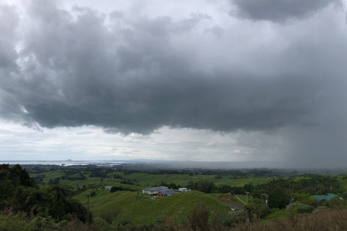
This working week ends with a band of rain moving north over the North Island, while it doesn’t look to bring widespread heavy rain there is potential for isolated heavy falls from thunderstorms in some regions such as Waikato and the Bay of Plenty.
Over the weekend, a large area of high pressure slides across New Zealand bringing generally settled weather for most people.
“The weekend should see some drier and brighter weather for much of New Zealand,” says MetService meteorologist Lewis Ferris.
“The new working week will bring the next weather system of concern.”
A northwesterly wind flow sets up over the South Island at the beginning of next week dragging in warm, moisture laden air which is forecast to bring a few wet days to New Zealand.
Current information suggests heavy rain will begin for the southwest of the South Island on Tuesday and the rest of the country getting a dose in the following days.
Even though this is a familiar pattern when it comes to New Zealand weather – the warm, humid air from the Tasman Sea brings the potential for large rainfall amounts about the higher ranges and mountains of the South Island West Coast.
As well as taking advantage of the calmer weather over the weekend, MetService recommends keeping a close eye on the forecasts for next week as a burst of wind and rain is lined up for most areas.


0 comments
Leave a Comment
You must be logged in to make a comment.