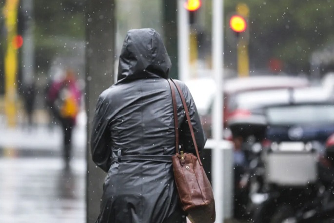
Heavy rain is on the way for parts of the North Island, with residents told to expect up to 40mm per hour in some areas.
MetService says water could run off and pool on the hard, dry ground, meaning a chance of flooding in some places.
The forecaster has issued a heavy rain watch for Northland - south of Dargaville, and Auckland - excluding Great Barrier Island.
The heavy rain watch will be in force from 12pm Sunday until 10am Monday, and possible downpours and intensities of 20-35 mm per hour could be expected, MetService says.
The amount of rain could approach warning criteria in some places, especially in the west.
The culprit was a "very moist air mass" affecting the north of the North Island, the forecaster says.
This rain band has been moving northwards across the North Island overnight and is expected to slow down and fracture today.
— MetService (@MetService) February 24, 2024
Rain has now arrived in Auckland, and there is a risk of heavy rain in localised spots across the region this afternoon and evening. Not looking so… pic.twitter.com/R61YteZF9H
Bay of Plenty are next in the firing line, with a "shallow low" expected to form to the west and downpours expected. A heavy rain watch will be in place there from 9am Monday to 12am Tuesday.
Rain would be heaviest inland and, like in Auckland and Northland, the amount could approach warning criteria, MetService says.
Up to 40mm of rain per hour could be expected.
"Further heavy rain is possible on Tuesday and the period of this watch may be extended," MetService says in a statement.
How many dry days has your region had this summer?
— NIWA Weather (@NiwaWeather) February 24, 2024
Most of the country experienced at least a month's worth of dry days this summer.
Areas shaded in red experienced over 50.
Tasman/Nelson/Marlborough had the highest number of dry days (65 days, over 2 month's worth) pic.twitter.com/4yNZaRllEO
Locals are urged to keep up to date with the latest forecasts in case the situation changed.
On Saturday, orange weather warnings were in place on the West Coast as rain pummelled the South Island, but those had since been lifted.
The rain comes after at least a month's worth of dry days for much of the country over summer.
It was particularly dry in the North Island - Whanganui had the most dry days of anywhere in New Zealand, with 64.1.
Auckland had 53.8 dry days and Bay of Plenty had 59.6.
"While this is welcome rain after such a dry February, these peak intensities coupled with hard, dry ground can cause water to run off and pool, meaning there is a chance of surface flooding in localised areas," says a MetService spokesperson.
Tuesday ,February 27 2024 On Tuesday, a broad trough moves onto New Zealand. Within this trough, a low is expected to move close to or over the North Island, bringing rain to much of the Island with heavy falls possible in some places.
There is low confidence that a heavy rainfall warning will be needed in eastern Bay of Plenty. Wednesday, February 28 2024 The trough moves away to the east on Wednesday and a ridge moves on to the South Island. The low just east of the North Island is expected to move away to the southeast. There is minimal risk of severe weather over New Zealand. Thursday, February 29 2024 On Thursday, the high should move to cover most of the country. There is minimal risk of severe weather over New Zealand. Friday, March 1 2024 During Friday, a front may approach the south of the South Island. This may bring some rain and strong winds to southern New Zealand, but currently it appears unlikely that there will be any warnings needed.

0 comments
Leave a Comment
You must be logged in to make a comment.