Some rain is coming for very dry places, says WeatherWatch.co.nz.
But not all will get relief.
Rain is forecast to slowly move up the West Coast on Saturday with heavy falls in Fiordland and southern Westland and gales developing through the Southern Alps and spreading eastwards.
Windier weather will increase in Wellington and Wairarapa and Cook Strait area, with winds building along the eastern North Island too - making for a hot day in eastern regions depending on the cloud cover.
It will be hot in the upper North Island too.
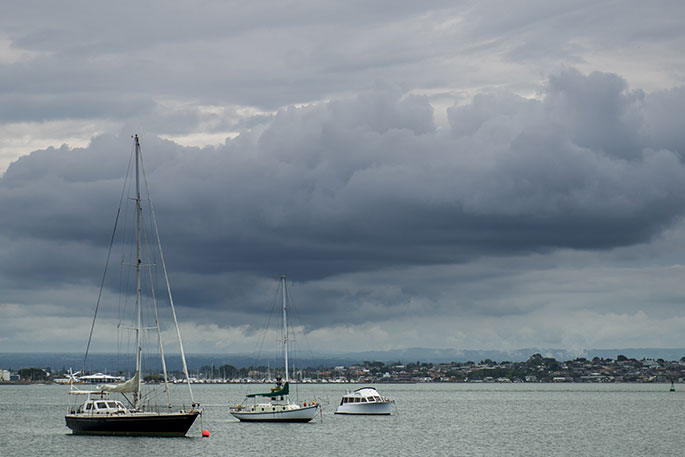
Severe weather is possible - keep up to date with MetService warnings.
Most eastern and northern parts of the South Island are dry/fairly dry - as is the entire North Island.
Places like Nelson and Blenheim may only get a few millimetres of rain along with a windy, hot, nor'wester especially Marlborough.
Wellington may only get a few millimetres of rain too, but Paraparaumu further north west may get 15mm. It's a patchy front, so not everyone will get what they need as our mountains and ranges lift totals for some, but cut back wet weather chances for others.
Sunday:
The cold front moves up the North Island on Sunday and clears the South Island.
The front is patchy and will bring a mixture of drizzly light rain and some more moderately heavier falls with wettest weather on the western side.
Rainfall looks good for some western areas in need of rain. Totals do vary though, so please check your local WeatherWatch or RuralWeather estimates - they update hourly and get more accurate as the rain moves closer - and track on rain radar. The further inland and to the east you are the lower the totals will be. If the front stalls which is always possible then rainfall totals may increase.
At this stage 10 to 30mm is liekly in most western areas on Sunday, but only 1 to 15mm in the east.
size=2 width="100%" align=center> size=2 width="100%" align=center>
sunday: the cold front moves up the north island on sunday and clears the south island.
the front is patchy and will bring a mixture of drizzly light rain and some more moderately heavier falls (wettest weather on the western side). rainfall looks good for some western areas in need of rain... totals vary though, so please check your local weatherwatch or ruralweather estimates and track on rain radar. the further inland and to the east you are the lower the totals will be. if the front stalls (always possible) then rainfall totals may increase.
at this stage 20 to 40mm is possible in some western areas, but only 2 to 15mm in the east.
size=2 width="100%" align=center> size=2 width="100%" align=center>sunday: the cold front moves up the north island on sunday and clears the south island.
the front is patchy and will bring a mixture of drizzly light rain and some more moderately heavier falls (wettest weather on the western side). rainfall looks good for some western areas in need of rain... totals vary though, so please check your local weatherwatch or ruralweather estimates and track on rain radar. the further inland and to the east you are the lower the totals will be. if the front stalls (always possible) then rainfall totals may increase.
at this stage 20 to 40mm is possible in some western areas, but only 2 to 15mm in the east.
{c}{c}{c} size=2 width="100%" align=center> size=2 width="100%" align=center>sunday: the cold front moves up the north island on sunday and clears the south island.
the front is patchy and will bring a mixture of drizzly light rain and some more moderately heavier falls (wettest weather on the western side). rainfall looks good for some western areas in need of rain... totals vary though, so please check your local weatherwatch or ruralweather estimates and track on rain radar. the further inland and to the east you are the lower the totals will be. if the front stalls (always possible) then rainfall totals may increase.
at this stage 20 to 40mm is possible in some western areas, but only 2 to 15mm in the east.
size=2 width="100%" align=center> size=2 width="100%" align=center>sunday: the cold front moves up the north island on sunday and clears the south island.
the front is patchy and will bring a mixture of drizzly light rain and some more moderately heavier falls (wettest weather on the western side). rainfall looks good for some western areas in need of rain... totals vary though, so please check your local weatherwatch or ruralweather estimates and track on rain radar. the further inland and to the east you are the lower the totals will be. if the front stalls (always possible) then rainfall totals may increase.
at this stage 20 to 40mm is possible in some western areas, but only 2 to 15mm in the east.

0 comments
Leave a Comment
You must be logged in to make a comment.