
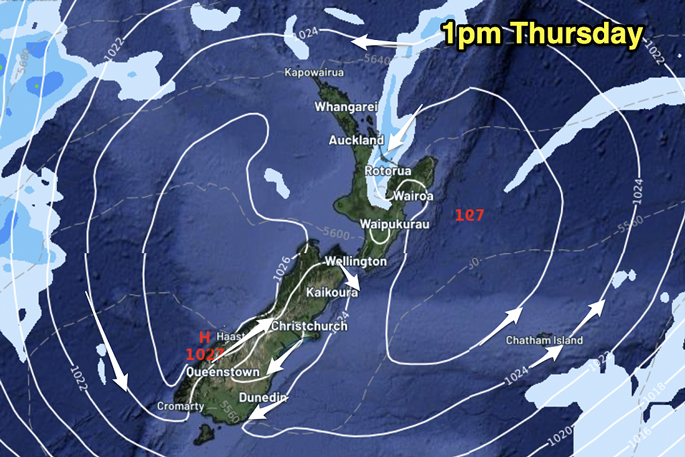
Winds will be light for most places today with high pressure covering New Zealand, predicts WeatherWatch.co.nz
"Some wet weather will linger around Bay of Plenty and drifts westwards slowly, so a few showers may develop into Waikato too," says the weather organisation in its latest update.
"Otherwise, NZ is dry with a cooler start to the day for many and then a mild to hot afternoon.
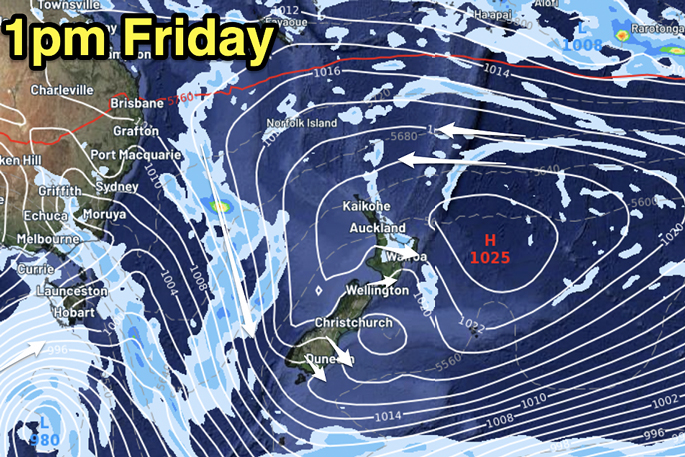
"Tomorrow (Friday) the high moves east of NZ and this keeps some wet weather stuck in the same part of the North Island (mostly Bay of Plenty).
"Track on rain radar today and tomorrow, along with our hourly forecast data, so you can monitor it accurately. A few showers may also form around Coromandel Peninsula along with cloudy conditions in the east.
"As the high shifts east, a hotter nor’west flow comes in behind it – starting in the lower South Island on Thursday and increasing on Friday."
Maps powered by Weatherzone, created by WeatherWatch.

0 comments
Leave a Comment
You must be logged in to make a comment.