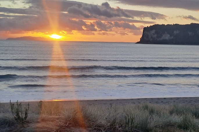
The good news for sunseekers is the forecasted streak of fine weather until Tuesday.
On Tuesday, a large high will cover most of New Zealand, with no severe weather expected over the country, says MetService forecasters.
Temperature highs for the Bay of Plenty for the week ahead are expected to be around 25 - 27 degrees Celsius, dropping to 12 -16 degrees overnight.
"The high over New Zealand should move away to the east on Wednesday, while a front moves onto the lower South Island," says a MetService spokesperson.
A strengthening northwest flow precedes the front, and rain will spread onto Fiordland and Westland during the day."
"There is low confidence that rainfall accumulations will meet warning levels over Fiordland and southern Westland on Wednesday.
With the strengthening northwest flow, there is moderate confidence that north to northwest winds could reach severe gale about exposed parts of southern Fiordland, western Southland and Stewart Island, and low confidence about other parts of Fiordland and Southland, Clutha and inland Otago late in the day."
During Thursday, the front is expected to move slowly northwards over the southern and central South Island, with rain affecting western and southern South Island areas.
"There is moderate confidence that rainfall amounts will reach warning criteria about the Westland District - especially about the ranges south of Otira, and low confidence of warnable rainfall amounts spilling over into the Canterbury headwaters south of the Rakaia River, and also in Fiordland, the Otago headwaters and western parts of Southland."
On Friday, the front is likely to become slow-moving over the northern South Island and slowly weaken.
"There is low confidence that warnable rainfall amounts will continue about the Westland District, and possibly also affect the Grey District, on Friday."

0 comments
Leave a Comment
You must be logged in to make a comment.