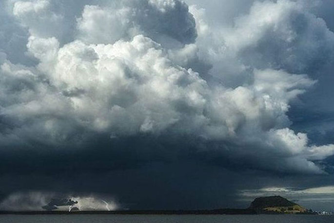
MetService has issued a severe thunderstorm watch with the risk of heavy rain and hail in the Auckland, Waikato, Coromandel and Western Bay of Plenty regions this Monday afternoon and evening.
"There is a moderate risk that some of the thunderstorms could become severe, producing localised downpours of 25 to 45 mm per hour," says a MetService forecaster.
"Rainfall of this intensity can cause surface and/or flash flooding, especially about low-lying areas such as streams, rivers or narrow valleys, and may also lead to slips.
"Driving conditions will also be hazardous with surface flooding and poor visibility in heavy rain."
Widespread rain continues to fall in the eastern areas of the North Island while the majority of the South Island remains relatively settled until a frontal system arrives on Thursday.
The remnants of a low pressure system is lying across the North Island to start the week.
This system has brought warm and humid air in around the northern half of the North Island, which is increasing the chance of thunderstorms this afternoon and evening.
Heading south, there is a risk of thunderstorms for inland areas between Kahurangi National Park and Otago.
Persistent, and sometimes heavy, rain is streaming onto eastern regions of the North Island, with Watches and Orange Warnings for heavy rain currently in force until Tuesday.
Eastern areas of the North Island will continue to be impacted by onshore winds until Wednesday, which means overcast days with rain, more persistent about higher ground.
The upper half of the North Island and inland areas of the South Island will have light winds and clear skies this week, however during the afternoons showers could pop up with the potential of thunderstorms sprinkled in the mix.
Temperatures will broadly be on the balmy side for most this week, with Christchurch forecast to reach 26°C on Thursday; that’s around 6°C warmer than their average daytime maximum for this time of year.
However, Cantabrians will need to wrap back up on Friday as we’re forecasting a high of 14°C due to an outbreak of cooler air from the Southern Ocean.
The arrival of the cool air is preceded by rain setting in on Fiordland on Wednesday.
This band of rain quickly zips northward on Thursday and moves across the North Island on Friday.
This system brings a big dip in temperatures, a burst of heavy rain, and there could be some quite blustery southerly winds in places.
MetService recommends keeping up with forecasts surrounding this system so you don’t get caught underprepared.


0 comments
Leave a Comment
You must be logged in to make a comment.