While high pressure reigned across New Zealand over the weekend, bringing plenty of sun, the beginning of this week sees a return to more active weather, particularly over the South Island.
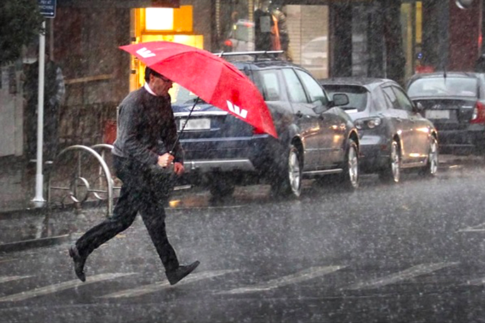
MetService has issued a number of Severe Weather Warnings for heavy rain and severe gales from Monday through to early Wednesday associated with first a strong and moist northwesterly flow followed by a strong, cold southerly change.
Later in the week high pressure builds again, signalling a return to more settled weather.
'The active weather has already begun on the West Coast today [Monday] where a front is delivering heavy rain. Thunderstorms are embedded within this front, contributing to the high rainfall rates and producing lots of lightning," says MetService Meteorologist Jessie Owen.
Heavy Rain Warnings are in force for Fiordland and Westland and a Heavy Rain Watch for Buller comes into effect this evening.
The heavy rain is also expected to spill over the Southern Alps and affect the headwaters of the Canterbury and Otago lakes and rivers.
Severe gale northwesterly winds ahead of the front are forecast to affect Canterbury High Country and Marlborough from Monday afternoon until early Tuesday morning, and Wellington and southern Wairarapa from Monday evening until early Tuesday morning. Exposed places within these regions could experience wind gusts of up to 120 km per hour and Strong Wind Warnings have been issued.
The next chapter of the active weather story comes courtesy of a deep low which is forecast to form to the east of the South Island on Tuesday.
This low is expected to direct a strong, cold southerly change up the country. Heavy Rain Warnings for Southland, Clutha, and Dunedin have been issued, along with Heavy Rain Watches for the remainder of Otago, and Canterbury.
A Strong Wind Watch for south to southwesterly winds is also in force for Dunedin, North Otago, and the Canterbury coast and plains, while Banks Peninsula is under a Strong Wind Warning and can expect gusts of up to 120 km per hour.
Heavy southwesterly swells brought on by the southwesterly winds are forecast to affect western coastlines right up to Northland, and eastern coasts of the South Island and lower North Island from Tuesday through until Wednesday.
'A noticeable drop in temperatures will be felt across the South Island on Tuesday (and the North Island on Wednesday) following the southerly change. Overnight temperatures are set to plummet through the single digits; Alexandra, Wanaka, and Queenstown are forecast to drop to 3°C overnight Tuesday, Taumarunui can expect 3°C and Taupō 4°C overnight Wednesday,” says Owen.
Snow may fall as low as 800 m above sea level in the eastern South Island in the heaviest precipitation associated with the southerly change.
While most of the severe weather will be concentrated over the South Island this week, the North Island can still expect a period of rain on Tuesday as the front travels across. Western areas will see heavier rain than the east, and colder temperatures can be expected throughout following the southerly change.
From Wednesday onwards the active weather is set to move away to the east as a new high pressure system from the Tasman Sea pushes its way over the country. This will mark the return of more settled weather to round out the working week although Owen says, 'those colder nights will remain”.
It's a busy week of weather, as always people are advised to keep up to date with the latest severe weather warnings at http://bit.ly/AllWarnings

0 comments
Leave a Comment
You must be logged in to make a comment.