MetService has issued a Severe Thunderstorm Watch for Coromandel Peninsula, Auckland and northern Waikato.
The watch is valid from 1pm Friday March 17 until 5am Saturday March 18.
"A very moist air mass covers the upper North Island ahead of several fronts approaching from the south," says a MetService spokesperson.
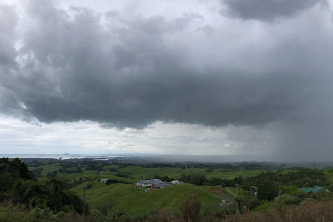
"There is a low to moderate risk of thunderstorms with heavy rain through the area today and during Saturday morning.
"In addition, for Auckland, Coromandel Peninsula and northern Waikato there is a moderate risk of localised downpours (25 to 40 mm per hour), whether thunderstorms occur or not, mainly this afternoon and early evening, and again during the early hours of Saturday morning."
Rainfall of this intensity can cause surface and/or flash flooding, especially about low-lying areas such as streams, rivers or narrow valleys, and may also lead to slips.
Driving conditions will also be hazardous with surface flooding and poor visibility in heavy rain.
People are urged to keep up to date with the latest forecasts, in case additional areas are added to this Watch.
Note: A Severe Thunderstorm Watch means conditions are favourable for severe thunderstorms in and close to the watch area. People in these areas should be on the lookout for threatening weather conditions and monitor for possible Severe Thunderstorm Warnings.
For information on preparing for and keeping safe during a storm, see the Civil Defence Get Ready website

0 comments
Leave a Comment
You must be logged in to make a comment.