


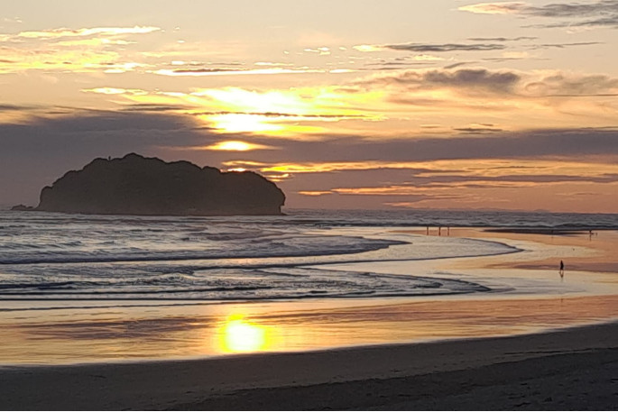
Summer is in full swing and the final countdown to the new year has begun.
MetService is forecasting plenty of sunshine to close out 2022, with hot temperatures and spots of showers in between.
A ridge of high pressure provides settled weather for much of New Zealand for the rest of this week, including New Year's Day.
The ridge also provides perfect conditions for the warmest days of the summer so far for the lower and eastern South Island.
'Parts of Central Otago and the Canterbury Plains will likely rise above the 30°C mark between Wednesday and Thursday," says MetService meteorologist Mmathapelo Makgabutlane.
This will be punctuated by a cold front that brings brief rain to the South Island between Thursday and Friday.
In typical fashion, Wellington doesn't escape the year without one last surge of wind, with a sharp, but short-lived, southerly change on Friday.
Light showers also feature over the coming days, mainly for places exposed to an easterly wind flow, including popular spots Gisborne and Hawke's Bay, as well as the top of the North Island. Showers also pop up over inland parts of the South Island on Sunday.
As for the big night? Makgabutlane has this to say:
'Most of Aotearoa can look forward to unhindered firework viewing conditions on Saturday night. Things look a bit dicier for the top of both the North and South Island, as well as Gisborne and Hawke's Bay, which will likely have some cloud and the odd shower. But all-in-all, a good way to welcome in the new year.”

0 comments
Leave a Comment
You must be logged in to make a comment.