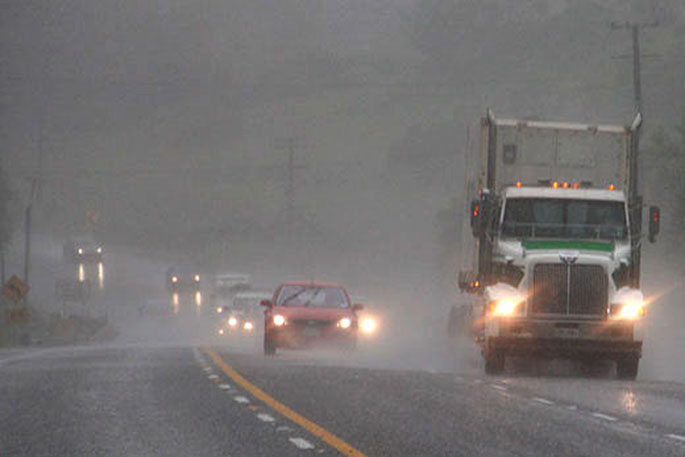
Heavy rain is being forecast for parts of the country as a disturbed northwest flow lies over New Zealand.
This is ahead of a front forecast to move eastwards across the country during today and Wednesday.
This front is expected to deliver heavy rain to some western areas and also the central North Island across to eastern Bay of Plenty, says a spokesperson for the MetService.
"A heavy rain warning remains in force for southern Westland, while heavy rain watches remain in force for northern Fiordland and northwest Tasman, with watches for heavy rain now in force for parts of the central North Island, and eastern Bay of Plenty.
"People are advised to keep up to date with the latest forecasts in case any changes are made, or further areas are added."
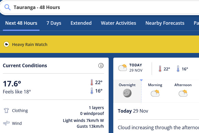 A heavy rain watch is in place for the Tauranga area. Image: Metservice.
Heavy Rain Watch
Area: Waikato south of Hamilton, Waitomo, Taumarunui, Taupo, and Taihape north of Waiouru including Tongariro National Park
Valid: 18 hours from 12am Wed 30 Nov to 6pm Wed 30 Nov
Forecast: Periods of heavy rain. Thunderstorms possible. Rainfall amounts may approach warning criteria.
Area: The ranges of eastern Bay of Plenty
Valid: 12 hours from 6am Wed 30 Nov to 6pm Wed 30 Nov
Forecast: Periods of heavy rain. Thunderstorms possible. Rainfall amounts may approach warning criteria.
Area: Taranaki, about and north of the Mountain
Valid: 15 hours from 9pm Tue 29 Nov to 12pm Wed 30 Nov
Forecast: Periods of heavy rain. Rainfall amounts may approach warning criteria.
Area: Tasman west of Motueka
Valid: 6 hours from 7pm Tue 29 Nov to 1am Wed 30 Nov
Forecast: A period of heavy rain. Rainfall amounts may approach short-duration warning criteria, mainly about the ranges.
Area: Fiordland north of Doubtful Sound
Valid: 11 hours from 3pm Tue 29 Nov to 2am Wed 30 Nov
Forecast: A period of heavy rain. Rainfall amounts may approach warning criteria.

0 comments
Leave a Comment
You must be logged in to make a comment.