.jpg)
Thunderstorms, hail and even tornados have ripped across the country in the past week, thanks to climate patterns and differing air temperatures.
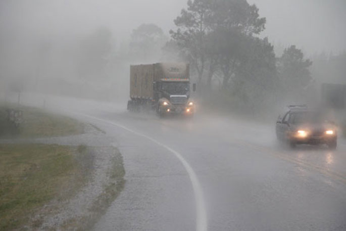
This morning, Waka Kotahi NZ Transport Agency is reporting a slip in State Highway 29, near McLaren Falls Road.
People are being advised to drive with caution in the area.
It is the same area as the slip that was reported on the highway on the weekend.
By why are we getting this sort of weather now?
MetService meteorologist Andrew James says warm air fuels rain and storms, helped along by colder air which makes warmer air more buoyant.
On Tuesday, NZ had some cold air driven up by the upper atmosphere moving over the North Island as well.
'The air at the bottom is warmer and wants to move upwards. The air at the top is colder and wants to move downwards. The two factors together increase the upwards motion.”
The atmosphere was unstable and resulted in localised thunderstorms, while many of us were asleep.
Niwa meteorologist Chris Brandolino says low pressure systems sitting to the west of the country 'acted like a cog and drew warm, humid air from the tropics and sub-tropics providing fuel for the rain”.
That low pressure is also moving towards New Zealand and helping to lift the air.
November has been particularly wet across much of the North Island so far, with some places having already received triple their usual average for the whole of November.
In the South Island, the rain has been much more variable.
While Christchurch Airport had already received 193 per cent of its November average, Nelson is spot on the average, although there are still eight days to go in the month and Musselburgh near Dunedin was at only 39 per cent of normal so far.
The La Niña climate driver was a key reason for the extended period of warm, humid air and storminess, says Chris.
Typically with La Niña there is lower than normal air pressure to the west.
At the same time, there is typically higher than normal air pressure to the south and east.
Those two factors work together to increase winds from the northerly quarter.
MetService meteorologist Lewis Ferris says along with La Niña, another feature called the Southern Annular Mode has been strongly positive during November.
That means the Southern Ocean is less active than usual, which tends to mean more weather coming from the east.
There has been higher than normal pressures to the southeast. That blocks the low pressure systems to the west, meaning they have been hanging around, and bringing the humid conditions, showers and rain.
The pattern of more air from the north and east has dominated in the past fortnight, while in the first week of the month the weather was more from the west, bringing rain to the West Coast.
Changeable weather is expected to continue for the next week, with a chance of a brief ridge of high pressure on Sunday into Monday, 'but that's very short-lived”.
More of a southwest flow is expected to arrive in Southland on Thursday. That will have some effect on the rest of the country, with temperatures expected to ease towards more average levels.
-Additional reporting by /Stuff.

0 comments
Leave a Comment
You must be logged in to make a comment.