


With unseasonably low snow, record breaking temperatures and even thundersnow, this has been a week to remember.
But MetService is forecasting for conditions to improve throughout today, with warmer and mostly settled weekend weather.
Tauranga's forecast is fine on Saturday, with northerlies from the afternoon. Saturday also has a high of 16°C and a low of 9°C .
On Sunday is partly cloudy with northeasterlies. Sunday has a high of 16°C and a low of 10°C .
A bitterly cold outbreak from Antarctica swept up the country on Tuesday and Wednesday, bringing freezing southerly winds to many and unseasonably low snow to the South Island and lower North Island.
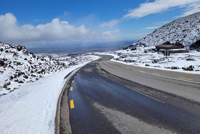
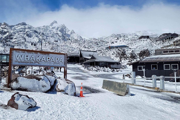 Snow at Whakapapa Ski Fields. Photos.Colin Baker, Ruapehu Scenic Shuttles.
The cold air moving over the relatively warmer waters near our coastline even brought a few thunderstorms.
MetService Meteorologist Amy Rossiter says snow was reported as far north as Taranaki and the Desert Road in the North Island, even down to sea level on beaches around Otago, Canterbury and Southland.
Heavy Snow Warnings are still in force for parts of Southland and Otago, with a Watch for Wairarapa.
These are expected to be lifted this afternoon as the showers ease and snow level rises.
A Road Snowfall Warning persists for the Remutaka Hill Road until early Friday.
This cold airmass saw temperatures drop well below normal for October.
Wanaka Airport broke its record for the coldest October minimum at -3°C. Dunedin and Invercargill also recorded their top three lowest October maximum temperatures, with 7.1°C and 5.9°C respectively.
Tomorrow morning is looking like another frosty start for many, but temperatures begin to slowly climb back to more seasonal averages through the weekend.
'A few showers will still linger in the south and east of both Islands during Friday morning, but as we head into the weekend and a ridge of high pressure builds over the country, we can expect more settled weather and clear skies for most.
'This will be good news for those wanting to head outdoors this weekend, whether it's with the kids for school holidays, or to watch the start of the Women's Rugby World Cup in Auckland, or the Cricket Tri Series in Christchurch.”
The second week of the school holidays starts with a rainband moving up the South Island affecting the west and south before potentially moving over the North Island.
Broadly speaking there will be a mix of wet and dry weather next week so keep up with the forecast and you will find the right time to get out and about.

0 comments
Leave a Comment
You must be logged in to make a comment.