A sub-tropical weather system that recently caused flooding in New South Wales is heading towards New Zealand.
MetService is forecasting a wet week for northern and central parts of the country as a rainmaker moves in from the Tasman Sea on Tuesday, then lingers until the weekend.
Meanwhile, southern New Zealand can expect a mix of sunshine and showers, with strong westerlies turning colder southerly mid-week.
"Periods of rain and gales are likely over northern and central New Zealand this week as a rainmaker moves eastwards across the Tasman Sea," says MetService meteorologist Peter Little.
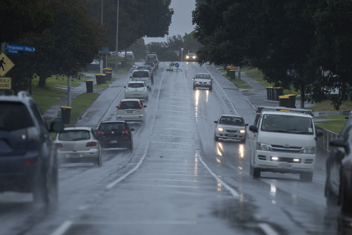
"Heavy rain is possible in northern and western regions, which has the potential to cause flooding. People should stay up to date with their forecasts and potential Severe Weather Warnings."
The week started off dry for most as the ridge of high pressure that brought fine weather to most places over the weekend remaining in charge.
However, the first hints that a change in the weather is coming will be high cloud ahead of the incoming weather system.
"The first burst of rain for northern and central New Zealand will be today as a trough of low pressure moves onto the North Island from the Tasman Sea.
"The trough is expected to move northwards on Wednesday, with rain retreating to the Far North.
"However, the reprieve from the wet weather over northern and central New Zealand is expected to be short-lived, as the trough sinks southwards on Thursday, bringing with it further rain and the potential for heavy falls."
Meanwhile, a strong and showery westerly flow over southern New Zealand is expected to turn colder southerly on Wednesday as a front sweeps northwards over the South Island.
"There will be a large spread in temperatures from north to south by the end of the week.
"On Friday maximum temperatures in the low twenties are forecast for northern parts of the country being affected by the sub-tropical weather system, while single digit highs will be common over the southern half of the South Island."
Finally, as the sub-tropical rainmaker collides with the cold front it brings the potential for significant snowfall to inland parts of Canterbury and the Kaikoura Ranges on Friday.
"Southeasterly rain is likely over the South Island from Canterbury northwards on Friday, and the snow-level could drop to around 500 metres about South Canterbury.
"Whilst the news of another snow dump will be well received by ski-fields in the region, it's likely that High Country farms and many higher roads will be also affected.
"This could have an impact on travel around the South Island for those heading away for the start of the July School Holidays."

0 comments
Leave a Comment
You must be logged in to make a comment.