A powerful high is heading to New Zealand this week, but next week rain and low pressure look to return to northern NZ, says a WeatherWatch head forecaster Philip Duncan.
"The incoming high is a big one - it will not only fuel a second injection of Antarctic air and frosts over the South Island this week, but it will also bring a settled and mild weekend this weekend to much of the country as it starts to depart," says Philip.
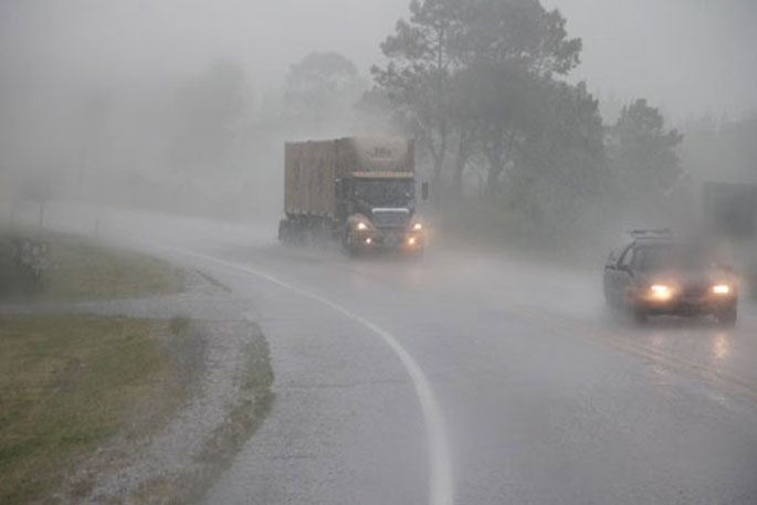
"But when the high departs slowly next week it will likely encourage sub-tropical north to north-east winds over parts of the country - followed by a large area of low pressure from the Tasman Sea which could trigger a west to north-west change and more rain from the west, moving eastwards across dry northern New Zealand."
RuralWeather.co.nz currently has confidence of around 70 to 80 per cent of rain arriving in Waikato and South Auckland next Tuesday May 31 and Wednesday June 1.
"The current forecast - which still may change - estimates around 50 or 60mm is possible next week in Hamilton, for example," says Philip.
"Next week looks mild for the very end of May and start of winter. Mild airflows mean daytime highs in Waikato will be around 19 or 20 degrees and overnight lows go from just +3C tonight to +14C by Sunday night as the nor'east flow kicks in."
Philip says that combination will be good for some very late season pasture growth.
Philip says those in desperate need of rain should keep up to date with the hyper-local rainfall data at RuralWeather.co.nz but also match that data up with the daily WeatherWatch.co.nz Weather Videos.
"This rainfall forecast is not 100 per cent locked in yet, but rain has been showing for May 30 - June 2 up in reliable data and modelling for close to a week now," says Philip.

0 comments
Leave a Comment
You must be logged in to make a comment.