
MetService is forecasting a mid-week period of stable weather, but things become unsettled in the South by the end of the week.
'A couple of fronts move up the east of the North Island this afternoon and evening, which bring isolated showers to most places. Rain however is forecast for Hawke's Bay and Gisborne but just scattered falls for Bay of Plenty,” says MetService meteorologist Andy Best.
'Mostly cloudy in the east of the South Island today but fine breaks inland from this afternoon. A few afternoon and evening showers are expected to develop inland with the chance of a thunderstorm or two about the Southern Lakes and the Mackenzie District. The west of the Island gets the best of today's weather,” says Best.
As we look towards Tuesday, the South Island becomes generally fine under the ridge, apart from isolated showers, some may be heavy across inland Canterbury and Marlborough in the afternoon and evening.
Tuesday also brings increasing fine spells across the North Island, but still a few morning showers in the east. A tricky front moving over the north of the island will result in afternoon showers across Rotorua, Waikato, Auckland, Coromandel and Northland, some possibly heavy.
A broad ridge of high pressure slowly builds across the country from the Tasman Sea on Tuesday and remains in place across both islands until Thursday.
On Friday and Saturday, the MetService expects the ridge to be confined to the upper North Island, while a trough moves onto the lower South Island on Friday and the across central South Island on Saturday bringing unsettled conditions there.
Strengthening northwesterlies across the South Island on Friday look like bringing very warm conditions to centres from Blenheim to Dunedin with the maximum in Christchurch around 27C and Oamaru 24C these values are around 6 degrees warmer than the November average.
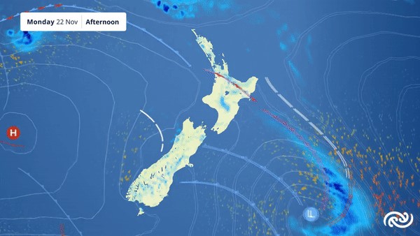 Image: MetService.

0 comments
Leave a Comment
You must be logged in to make a comment.