
Heavy rain is expected to pummel the Bay of Plenty today.
A severe weather warning is in force for the region.
The MetService says a front over the Tasman Sea is forecast to move across New Zealand on Monday, preceded by a strong and moist north to northeasterly flow, then followed by unsettled northwesterlies.
'The front is expected to bring a period of heavy rain to western and northern parts of New Zealand, including areas of Buller, Nelson and Marlborough recently affected by flooding.
'In addition, a period of strong to gale north to northeasterly winds are expected ahead of the front, with some places possibly reaching severe gale for a time.
'People are advised to keep up to date with the latest forecasts in case any changes are made, or further areas are added.”
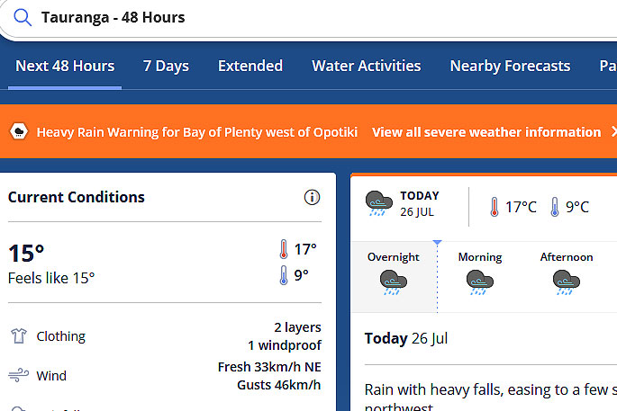 Image: MetService.
Heavy Rain Warning
Heavy rain may cause streams and rivers to rise rapidly. Surface flooding and slips are also possible and driving conditions may be hazardous.
Area: Northland
Valid: 10 hours from 11pm Sunday to 9am Monday
Forecast: Expect 50 to 80mm to accumulate, especially in the north and east. Peak intensities of 15 to 25mm/h in possible thunderstorms.
Changes: Watch upgraded to Orange Warning.
Area: Auckland including Great Barrier Island
Valid: 9 hours from 2am to 11am Monday
Forecast: Expect 50 to 80mm to accumulate. Peak intensities of 15 to 20mm/h.
Changes: Watch upgraded to Orange Warning.
Area: Coromandel Peninsula
Valid: 8 hours from 5am to 1pm Monday
Forecast: Expect 50 to 80mm to accumulate. Peak intensities of 15 to 20mm/h.
Changes: Watch upgraded to Orange Warning.
Area: Bay of Plenty west of Opotiki
Valid: 9 hours from 7am to 4pm Monday
Forecast: Expect 50 to 80mm to accumulate. Peak intensities of 15 to 20 mm/h.
Changes: Watch upgraded to Orange Warning.
Area: Nelson northwest of Motueka
Valid: 22 hours from 9pm Sunday to 7pm Monday
Forecast: Expect 110 to 150mm of rain to accumulate about the ranges, and 60 to 80mm elsewhere. Peak rates of 10 to 20mm/h expected overnight tonight (Sunday) through to midday Monday.
Area: Westland south of Otira
Valid: 25 hours from 9pm Sunday to 10pm Monday
Forecast: Expect 120 to 150mm of rain to accumulate about the ranges and 70 to 100mm nearer the coast. Peak rates of 10 to 20mm/h expected overnight through to midday Monday, then briefly again late Monday afternoon and early evening.
Strong Wind Warning
Strong wind gusts could damage trees, powerlines and unsecured structures. Driving may be hazardous, especially for high-sided vehicles and motorcycles.
Area: Auckland excluding Great Barrier Island
Valid: 8 hours from 3am to 11am Monday
Forecast: Northeast winds are forecast to rise to gale in exposed places, with gusts reaching lower warning threshold of 90 to 100 km/h especially in eastern areas.
Changes: Watch upgraded to Orange Warning.
Area: Fiordland
Valid: 4 hours from 9pm Sunday to 1am Monday
Forecast: Severe gale north to northeasterlies in exposed places, gusting up to 130 km/h.
Heavy Rain Watch
Area: Waikato, western ranges of Taupo and the far east of Taumarunui
Valid: 7 hours from 7am to 2pm Monday
Forecast: A period of heavy rain. Rainfall amounts may approach warning criteria.
Area: Gisborne north of Ruatoria
Valid: 8 hours from 1pm to 9pm Monday
Forecast: A period of heavy rain. Rainfall amounts may approach warning criteria.
Area: Mount Taranaki
Valid: 12 hours from 3am to 3pm Monday
Forecast: Periods of heavy rain. Rainfall amounts may approach warning criteria.
Area: For the remainder of Nelson not covered by a Warning, also Marlborough west of Blenheim and north of the Awatere valley including the Sounds
Valid: 15 hours from 3am to 6pm Monday
Forecast: Periods of rain with some heavy falls possible. Expect 40 to 70mm of rain to accumulate, especially about the ranges. Peak rates of 5 to 10mm/h. Rain is expected to ease from Monday afternoon. Rain easing to a few showers from Monday evening, with rainfall rates dropping to around 1 or 2mm/h, and a further 5 to 10mm possibly accumulating in some places. Showers then clearing overnight.
Area: Buller south of Seddonville and north of Reefton
Valid: 21 hours from 11pm Sunday to 8pm Monday
Forecast: Periods of heavy rain. Expect 50 to 80mm of rain to accumulate. Peak rates of 10 to 15mm/h expected overnight through to midday Monday. Please note the watch area has now been extended towards the coast including Westport township.
Area: Fiordland about and north of Milford Sound
Valid: 9 hours from 9pm Sunday to 6am Monday
Forecast: Periods of heavy rain, and thunderstorms possible. Rainfall amounts may approach warning criteria.

0 comments
Leave a Comment
You must be logged in to make a comment.