A severe weather warning is in place for the Bay of Plenty.
The MetService is forecasting heavy rain and gale force winds for part of the North Island.
"A subtropical low moves southwards onto the north of the North Island today,then slowly eastwards during Tuesday followed by a ridge of high pressure over the Tasman Sea.
"The low pressure system is expected to bring heavy rain and strong winds to many North Island areas. For further information please consult Watches and Warnings that have been issued.
"People are advised to stay up to date with the latest forecasts in case further Watches and Warnings are added."
===========================
HEAVY RAIN WARNING - ORANGE
===========================
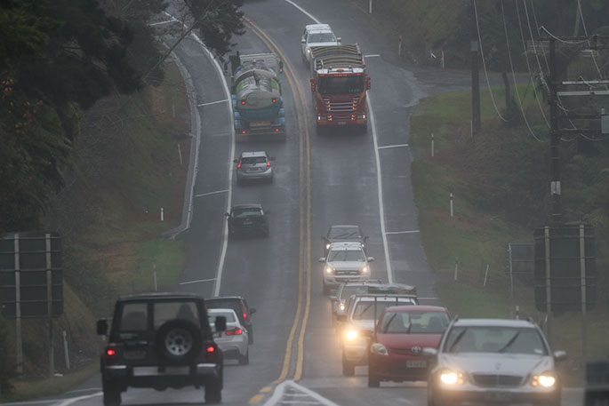
Heavy rain may cause streams and rivers to rise rapidly. Surface flooding and slips are also possible and driving conditions may be hazardous.
Area: Coromandel Peninsula
Valid: 10 hours from 9am to 7pm Monday
Forecast: Expect a further 70 to 100mm of rain to accumulate in addition to rain which has already fallen. Peak rates of 10 to 15mm/h, but 25mm/hr in possible thunderstorms this afternoon and early evening.
Area: Bay of Plenty west of Whakatane
Valid: 24 hours from 11am Monday to 11am Tuesday
Forecast: Periods of heavy rain. Expect 100 to 130mm of rain to accumulate. Peak rates of 10 to 20mm/h, especially this afternoon and Tuesday morning.Thunderstorms also possible this afternoon and evening.
Area: Gisborne and Hawke's Bay
Valid: 30 hours from 5pm Monday to 11pm Tuesday
Forecast: Expect bursts of heavy rain bringing a total of 100 to 180mm of rain with the largest amounts about the ranges. Peak rates of 10 to 20mm/h expected Monday evening, easing for a time overnight Monday but high rainfall rates returning Tuesday morning.
============================
STRONG WIND WARNING - ORANGE
============================
Strong wind gusts could damage trees, powerlines and unsecured structures.Driving may be hazardous, especially for high-sided vehicles and motorcycles.
Area: Taranaki
Valid: 27 hours from 3am Tuesday to 6am Wednesday
Forecast: Southerly gales are forecast to be severe at times, with gusts reaching 120 km/h in exposed places. Note that the strongest winds are expected to affect areas about and north of Mt Taranaki.

0 comments
Leave a Comment
You must be logged in to make a comment.