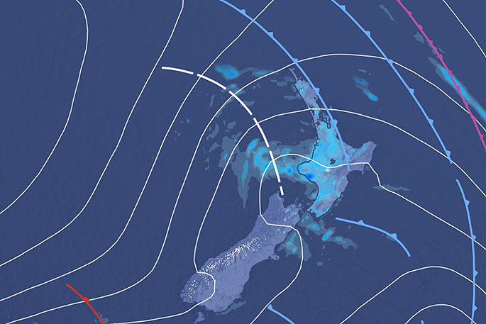
MetService is forecasting a series of cold fronts to spread over the country from the Tasman Sea during the first half of this week, bringing changeable and unsettled weather to Aotearoa.
The fronts also usher in strong, cold southwesterly winds, bringing unfavourable conditions for new-born lambs, orchardists, and students planning outdoor activities to start their spring break.
Temperatures are expected to drop by several degrees following the change from northerlies to cooler southwesterlies.
'On Sunday afternoon the warm northerly winds helped eastern parts of the country climb into the twenties," says MetService Meteorologist Peter Little.
"Napier reached a maximum of 24.1°C, and Christchurch Airport was close behind with 23.5°C. The colder southerly reached Christchurch earlier this afternoon, and a maximum of just 11°C is forecast for Tuesday.”
As temperatures cool, the snow level is expected to lower to 300 metres over southern New Zealand this evening and to 800 metres over the central North Island Tuesday afternoon.
Road Snowfall Warnings have been issued for several South Island passes as well as the Desert Road and Napier-Taupo Road.
'Although snow has the potential to disrupt travel and provide challenging conditions for new-born lambs, the new snow will be welcomed by skiers, who will hopefully get an opportunity to carve their way down the slopes later this week when winds are forecast to ease.”
The unsettled, showery weather also brings a risk of thunderstorms to much of New Zealand today and on Tuesday.
'There is a risk of severe thunderstorms about central parts of the country on Tuesday afternoon and evening, with large hail and significant hail accumulations possible.
"People, especially orchardists and growers in Nelson and about the central and eastern North Island, are advised to view the Thunderstorm Outlook for more detail."
Finally, southwest gales are forecast for parts of New Zealand, and a Strong Wind Watch has been issued.
These strong winds will whip up large waves in the New Zealand region this week, with southwesterly swells of 4 to 6 metres forecast for exposed marine areas from Tuesday to Thursday.

0 comments
Leave a Comment
You must be logged in to make a comment.