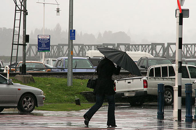
A period of heavy rain and gales for parts of central New Zealand and the upper North Island is forecast for today.
A front, preceded by strong north westerlies and followed by a brief period of strong south westerlies, is forecast to move east across central and northern New Zealand today, then is expected to move away to the east late this afternoon and evening, says Metservice.
'The front should deliver a brief period of heavy rain, especially about the ranges.
'The heaviest rain is expected about the Tararua Range where a heavy rain warning is in force. A heavy rain watch remains in force for Mount Taranaki, the central North Island high country, the eastern ranges of Bay of Plenty and the ranges of Gisborne.
'In addition, the watch also covers the possibility of winds rising to severe gale in exposed parts of Northland, Auckland, Great Barrier Island, Waikato, Coromandel and Bay of Plenty including Rotorua.
'Meanwhile, a cold southwesterly outbreak is expected to bring snow to low levels in the far south on Wednesday. The heaviest snowfall is expected in Fiordland where a heavy snow watch in now in force.”
People are advised to stay up to date with the latest forecast in case any changes are made.
HEAVY RAIN WATCH
Area: Ranges of Bay of Plenty east of Whakatane and the ranges of Gisborne
Valid: 10 hours from 9:00 am to 7:00 pm Tuesday
Forecast: A period of heavy rain. Rainfall accumulations may approach Warning criteria.
Area: Taumarunui, Taupo and Taihape including Tongariro National Park
Valid: 7 hours from 9:00 am to 4:00 pm Tuesday
Forecast: A period of heavy rain. Rainfall accumulations may approach Warning criteria, especially about the higher ground.
Area: Mount Taranaki
Valid: 5 hours from 9:00 am to 2:00 pm Tuesday
Forecast: A period of heavy rain. Rainfall accumulations may approach Warning criteria.
HEAVY SNOW WATCH
Area: Fiordland
Valid: 18 hours from 3:00 am to 9:00 pm Wednesday
Forecast: Snow is expected to lower to 400 metres overnight tonight and to 100 metres late Wednesday afternoon or evening. Periods of heavy snow are expected above these levels during this time, and
accumulations may approach warning amounts.
STRONG WIND WATCH
Area: Northland, Auckland, Great Barrier Island, Coromandel Peninsula
and Waikato
Valid: 9 hours from 9:00 am to 6:00 pm Tuesday
Forecast: Strong northwesterly winds are expected to change to strong southwesterlies during this time, and these winds may approach severe gale in exposed places.
Area: Bay Of Plenty including Rotorua
Valid: 8 hours from 1:00 pm to 9:00 pm Tuesday
Forecast: Strong northwesterly winds are expected to change to strong southwesterlies during this time, and these winds may approach severe gale in exposed places.

0 comments
Leave a Comment
You must be logged in to make a comment.