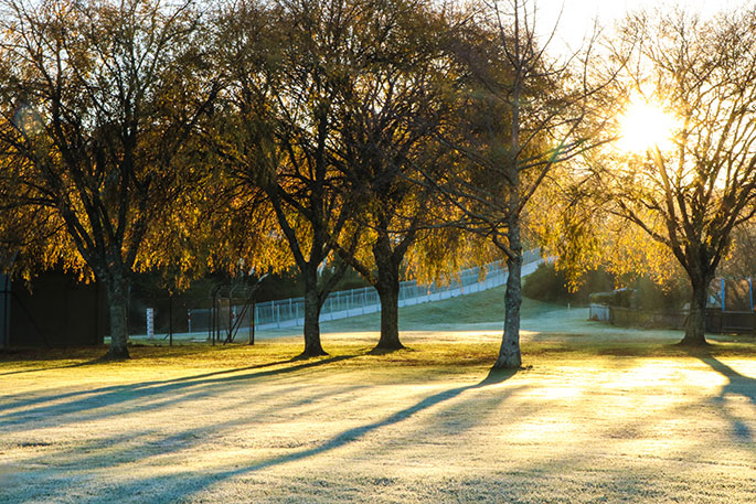
NZ saw some big frosts over the past couple nights but now we're heading into a milder northerly flow for many places ahead of the next rain band and big low.
Rain moves up the West Coast on Tuesday with heavy falls and then northern and western parts of the North Island by Tuesday evening/night, says WeatherWatch.co.nz
"There may be some isolated thunderstorms. While light winds for many on Monday the northerlies do kick in further south and become stronger on Tuesday.
"By Wednesday a westerly flow kicks in for many regions as a large low develops around the South Island on Wednesday night."
On Thursday, this low deepens even further, centred west of Fiordland and may have central air pressure as low as the late 960hPa (Hectopascal) range for a time.
"The lower the air pressure the more unstable the weather becomes over a larger area, meaning thunderstorms, squalls, heavy rain and snow are all possible. It also increases winds around the centre of the low.
"By Friday, this low will be falling apart quickly though, with a colder southerly coming in behind it for Friday and Saturday nationwide. It's short lived - conditions improve on Saturday in many places. Winds look to turn milder westerly as early as Sunday."


0 comments
Leave a Comment
You must be logged in to make a comment.