UPDATED 9.31AM: A severe weather watch for heavy rain in the Bay of Plenty has now been upgraded to a warning.
The MetService says heavy rain is forecast for eastern Bay of Plenty, the Gisborne ranges, Mount Taranaki and the Tararua Range. Severe gales for Wellington.
"An active front over central New Zealand continues to move northeastwards across the country today and during Tuesday morning.
"It's preceded by a strong and moist northerly flow, and is expected to bring a period of heavy rain to much of the North Island, and a period of severe northerly gales to Wellington."
Heavy Rain Warning
Heavy rain may cause streams and rivers to rise rapidly. Surface flooding and slips are also possible and driving conditions may be hazardous.
Area: Bay of Plenty east of Opotiki, and the ranges of Gisborne
Valid: 12 hours from 9pm Monday to 9am Tuesday
Forecast: Expect 90 to 130mm of rain, with the largest accumulations about the ranges. Peak rates of 30 to 40mm per hour, especially in thunderstorms.
Changes: Upgraded to a full warning.
Area: Mount Taranaki
Valid: 9 hours from 9am to 6pm Monday
Forecast: Expect 110 to 150mm of rain, this is in addition to the rain that has already fallen. Peak rates of 30 to 40mm per hour, especially in thunderstorms this afternoon.
Changes: Upgraded to a full warning.
Area: The Tararua Range
Valid: 9 hours from 9am to 6pm Monday
Forecast: Expect 70 to 100mm of rain. Peak rates of 20 to 30mm per hour, especially in thunderstorms
Changes: Upgraded to a full warning.
Strong Wind Warning
Strong wind gusts could damage trees, powerlines and unsecured structures. Driving may be hazardous, especially for high-sided vehicles and motorcycles.
Area: Wellington, including the Remutaka Hill Road
Valid: 4 hours from 9am to 1pm Monday
Forecast: Severe north to northwest gales gusting 120 km/h in exposed places.
Changes: Upgraded to a full warning.
EARLIER:
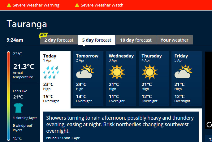
Heavy and thundery showers are in the forecast for the Bay of Plenty this evening.
The MetService says showers are turning to rain this afternoon, possibly heavy and thundery in the evening.
A severe weather watch is in place for the Bay of Plenty, with heavy rain forecast for the Coromandel Peninsula, Bay of Plenty from Opotiki westwards and Rotorua.
In the 10 hours from 4pm Monday to 2am on Thursday, a period of heavy rain, with possible thunderstorms, is forecast.
'Rainfall amounts may approach warning criteria.”
An active front moves across the country from the Tasman Sea overnight Sunday and during Monday, says the MetService.
'It's preceded by a strong and moist north-northwest flow, and is expected to bring a period of heavy rain to northern and western parts of the country.
'The heaviest falls are expected about Westland from Otira southwards and the ranges of northwest Nelson, where a warning remains in force. The heavy rain Watch for northern Fiordland has now been upgraded to a full warning.
'This watch is for the possibility that rainfall accumulations may approach warning amounts in Westland north of Otira, Buller, Nelson excluding western ranges, northwestern Marlborough, the Tararua Range, and the central North Island from Taranaki east across Tongariro National Park to Bay of Plenty, and north to Coromandel and Waikato during Monday.”
In addition, the watch also covers the possibility that north to northwesterly winds may rise to severe gale strength in Fiordland, Southland, Otago excluding Dunedin and North Otago, Canterbury High Country and Wellington during Monday.
'Gale westerlies are also expected for southern Fiordland, and coastal Southland behind the front until Monday afternoon.”

0 comments
Leave a Comment
You must be logged in to make a comment.