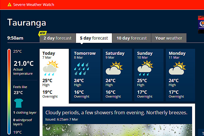
A severe weather watch is in place for the Bay of Plenty today.
Heavy rain is being forecast for the Bay of Plenty through to Whakatane.
"An active front moves eastwards across southern New Zealand today,and central and northern New Zealand on Friday, accompanied by a period of rain for most places," says the MetService.
"The heaviest falls are expected in Fiordland and the ranges of Westland where a heavy rain Warning is in force."
This watch is for the possibility that rainfall accumulations could meet warning criteria in Buller from Thursday evening to early Friday morning, and for the eastern ranges of Bay of Plenty from Friday afternoon to overnight Friday.
This watch also covers the possibility of northwest gales becoming severe today in southern Fiordland, Southland, Otago and Canterbury High Country.
People in these areas are advised to stay up to date with the latest forecast in case parts of this Watch is upgraded to a full Warning,or further areas are added.
HEAVY RAIN WATCH
Area: Bay of Plenty about and east of Whakatane
Valid: 21 hours from 6am Friday to 3am Saturday
Forecast: Periods of heavy rain. Possible thunderstorms and localised downpours.
Area: The ranges of Buller
Valid: 7 hours from 9pm Thursday to 4am Friday
Forecast: A period of heavy rain.
STRONG WIND WATCH
Area: Canterbury High Country
Valid: 11 hours from 11am to 10pm Thursday
Forecast: Northwest winds may approach severe gale in exposed places at times.
Area: Southern Fiordland, Southland and Otago
Valid: 8 hours from 9am to 5ppm Thursday
Forecast: Northwest winds may approach severe gale in exposed places at times during this period. A brief southwest gale follows the northwesterly.

0 comments
Leave a Comment
You must be logged in to make a comment.