Another mid-winters day and another day with above normal temperatures in most parts of New Zealand, says WeatherWatch.co.nz
The new westerly flow, which arrived yesterday from Australia, will bring even milder conditions to some regions in the week(s) ahead.
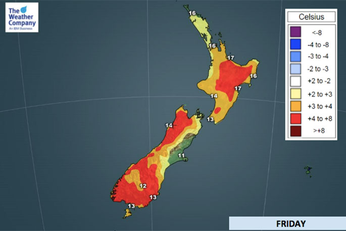
"However an incoming high pressure system (or anticyclone) for Friday and Saturday may see some coastal regions return back to normal temperature-wise for a brief time.
"The incoming high may produce local southerlies which keep temperatures closer to where they are supposed to be for mid August," says the weather organisation.
"But generally speaking most regions look milder than they should be, especially as the nor'westers from Aussie return this Sunday and Monday bumping temperatures up again in both islands even further."
To give you a couple of examples:
The ski resort town of Queenstown in the lower South Island has daytime highs in the double digits most days in the week ahead with overnight lows above freezing every single night, in fact this Sunday the overnight low is +6C.
In the North Island Waiouru, which is nearly 800m above sea level and almost three times as high above sea level as Queenstown is, has double digit highs most days in the week ahead and while it does drop down to -1C this Saturday, the overnight low on Monday will be +5C.
This is the depths of winter remember - what should be the peak of the cold.
All main centres look frost free in the week ahead and some regions will have daytime highs in the late teens (especially in the east).
WeatherWatch.co.nz says once "we pass August 15 it's hard to have week after week of brutal cold as the usual spring patterns tend to awaken which bring more wind and more westerlies, both of which help keep temperatures up".
"The days are now also getting slowly longer too (extra daylight) and in September we gain about 20 minutes of extra daylight per week, which means we also slowly gaining added warmth that way too.
"One last note - despite the warmer weather around New Zealand it's important to remember it's still brutally cold just south of us.
"An early spring pattern does not mean a reduced risk of snow storms - in fact it can sometimes mean the opposite as when a cold southerly does hit milder air it often creates much heavier snow."

0 comments
Leave a Comment
You must be logged in to make a comment.