The weather over the next several days is full of interesting twists and could bring quite a variety in weather conditions according to WeatherWatch.co.nz - but the good news is that the pattern tends to favour the school holidays as this week wears on.
To keep it simple WeatherWatch.co.nz has bullet pointed the weather set up around New Zealand over the coming week.
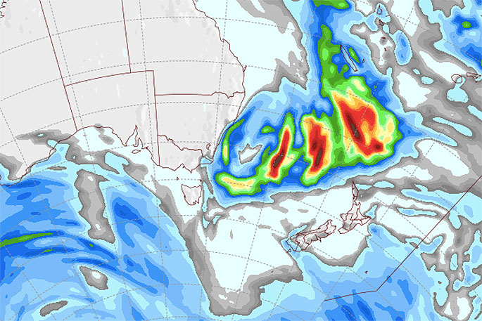
- Today - Large area of low pressure dominates NZ bringing westerlies to the North Island, cooler SW winds to the South Island
- Tuesday - The cooler SW flow spreads over NZ but is fairly weak, most showers clearing by evening
- Wednesday - Settled for many but a late little southerly brushes the lower South Island later in the day with a brief cold change
- Thursday & Friday - High pressure builds nationwide
- Weekend - Large high crosses NZ
- Next Monday - Warmer than average sub-tropical north to north east winds develop over New Zealand
- Next Tuesday - Large low and active cold front in the Tasman Sea moves into the western/northern NZ.
WeatherWatch.co.nz says the set up next week is too early to lock in but could provide some mid-winter twists including elevating temperatures well above average for this time of year plus bringing a chance of localised heavy rain with mild sub-tropical connections.
It's also possible this event, timed with another west to north west air flow behind it, could see a much milder than average second half to July compared to the very cold, frosty, southerly driven end to June and start to July for many.
The next seven days ahead look drier than average for many regions, especially those in the east of both islands. Western areas look average rainfall-wise.

0 comments
Leave a Comment
You must be logged in to make a comment.