A cold front moving over New Zealand has started to march up the South Island bringing a dumping of snow.
WeatherWatch.co.nz has had reports of isolated snow to sea level in Dunedin, mainly around Portobello Road area.
"A cold front has started to march up the South Island bringing snow generally down to about 150 to 180 metres where it is settling for now. Some snow flurries are going lower to around 100m with sleet and hail to sea level," says a statement from the weather organisation.
"Due to strong downdrafts and the terrain some isolated snow flurries will reach sea level, or near it.
"Photos are coming in from Dunedin's hilltop suburbs and further inland through into Southland."
There is a road snowfall warning in place for the Desert Road, as the front moves up the country.
Snow showers are expected during Wednesday afternoon and evening.
Between 2pm and 9pm Wednesday,expect 4 to 6cm of snow to settle on the road above 900 metres, with with lesser amounts down to 600 metres.
Tauranga is expected to see an overnight low of three tonight, with westerlies turning to southerlies early in the evening.
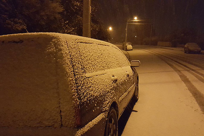
See below the great photos sent in to WeatherWatch.co.nz's Twitter page of the snow in Dunedin last night!
@WeatherWatchNZ more! it's pretty heavy and fast out there! pic.twitter.com/0WwLtPsHAD
— Mike Mackenzie (@vebbed) June 5, 2018
@WeatherWatchNZ snow in Halfway Bush, Dunedin. pic.twitter.com/OYyWGTWnv5
— Mike Mackenzie (@vebbed) June 5, 2018
Looking good Dunedin @WeatherWatchNZ pic.twitter.com/BKV4WgJYqi
— Phil Lemin (@phil_lemin) June 5, 2018
@PhilipDuncan @WeatherWatchNZ
It's coming in thick and fast here already, so cold its settling straight away. pic.twitter.com/Fqm0v3G2D6— Blocka (@blairdrysdale77) June 5, 2018
At 175m... pic.twitter.com/kZB43Egdk6
— Hannah (@hkmolloy) June 5, 2018
Company Bay #OtagoPeninsula #Dunedin 10pm @WeatherWatchNZ @StormHour @odtnews @OtagoRC #SnowDay tomorrow for sure #Snow pic.twitter.com/JEMb23QX9x
— paul le comte (@five15design) June 5, 2018

0 comments
Leave a Comment
You must be logged in to make a comment.