Ice and snow had forced the NZTA to close the Desert Road today, while heavy snow was starting to fall in the deep south.
MetService says up to 40cm of snow could accumulate above 400 metres in the southwest of the South Island.
Snow was expected during Thursday on the Lewis Pass, Arthur's Pass, Porters Pass, Haast Pass, Lindis Pass, and the Crown Range Road. The Milford Road between Te Anau and Milford Sound was closed because of snow.
"Looking at the limited radar coverage we have there (Fiordland), and the satellite, it should be snowing there quite heavily. We've even had a few flashes of lightning," says MetService meteorologist Michael Martens.
"The front has moved onto Fiordland and is now crossing Otago, and even Queenstown is reporting a little bit of snow at the moment," he says shortly after 5am Thursday.
"Winter has finally arrived ... The next few days are going to bring some good snow for the ski fields in the South Island."
Ranfurly had got to -3.1 degrees Celsius and Pukaki airfield to -3C but the system moving onto the country had prevented the temperature getting particularly low in many areas.
"To have a really cold night you need it to be still with little wind and pretty clear, but that isn't the case because of the front moving onto the South Island at the moment."
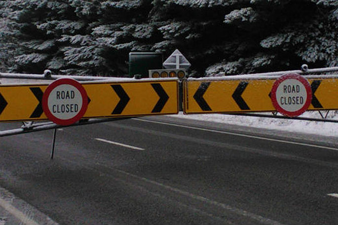
SH1 DESERT ROAD - CLOSED - 5:45AM
— NZTA Central Nth Is (@NZTACNI) May 23, 2018
SH1 between Waiouru and Rangipo CLOSED early this morning due to snow and ice. Please use the provided detour of SH46 and SH47 to National Park, left onto SH4 then left onto SH49 to Waiouru for southbound users, reverse for north. pic.twitter.com/XdthVlMrA3
In the central North Island, the temperature didn't drop to 0C until near the summit of the Desert Road.
"The Desert Road got some snow yesterday and overnight as well, probably another couple of centimetres ... I guess it snowed a bit, then melted, then re-froze.
"That's probably why they had to close it, because the snow accumulations weren't significant."
On Thursday, the North Island from Manawatu north is expected to have showers, becoming more frequent in the afternoon, when some could be heavy with hail and thunderstorms.
Showers are expected for the bottom of the North Island, top of the South Island and the Canterbury High Country. Showers could get heavy and there could be thunderstorms on the West Coast, with snow to 400m south of Haast and to 700m elsewhere.
Snow could fall to 300m at first in Otago and Southland, and hail and thunderstorms are possible, although things could get better during the day.
The best chances of a dry day are in Gisborne, Hawke's Bay and the Canterbury Plains.
Auckland is forecast to have showers on Thursday, with a high of 17C. Thunderstorms and hail are possible in the evening.
Northwesterlies are expected to rise to gale strength in Wellington, with a high of 15C and showers forecast to develop in the afternoon.
Thunderstorms are possible tonight.
Christchurch is expected to have strengthening northwesterlies, high cloud and 14C.

0 comments
Leave a Comment
You must be logged in to make a comment.