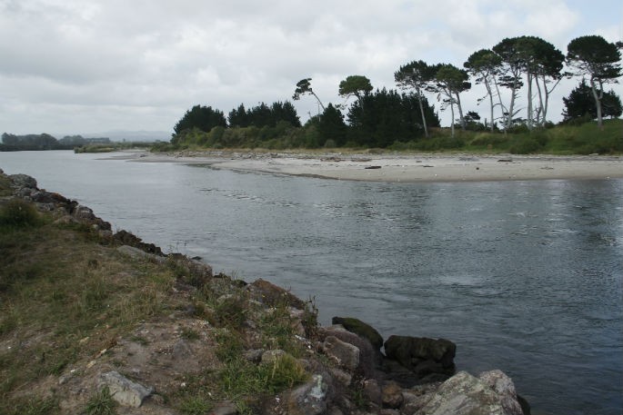
With heavy rain warnings and rising rivers, Bay of Plenty Regional Council is keeping a close eye on lake and river levels and planning for more to come overnight and on Tuesday.
Most rivers have reached their first warning levels and indications are that Kaituna, Whakatāne, and Tauranga/Waimana have peaked and will start dropping over the coming few hours.
Farmers in low lying catchments have been advised to move stock to higher ground and boat owners reminded to move boats off river moorings.
However, in the east, the Otara continues to rise due to the extreme rain in the Ranges and has passed its second warning level with some of the rural stopbanks being overtopped in rural areas.
Bay of Plenty Regional Council duty flood manager Graeme O'Rourke says more than 100mm of rain has fallen in the past 24 hours and a further 100-150mm of rain is expected across the region, easing by Tuesday morning. Much of that is falling in the east near Ōpōtiki.
'Most of the river systems are holding up well and seem to have peaked with the worst of the rainfall having past.
'But the East is the hardest hit at the moment with the Otara continuing to rise. The Nukuhou Stream is also very high and we are working closely with NZTA keeping an eye on the State Highway to ensure it is passable.
'We are also doing extensive modelling of the rainfall and inflows to Lake Matahina to ensure we have a good handle on the flows downstream in the Rangitāiki. At this stage we are not concerned with this rainfall event but are continuing to keep in touch with the Whakatāne District Council in case anything changes. Trustpower are continuing to lower the lake level at Matahina Dam and are working closely with the Flood Team here.
'The Rotorua Lakes are all also rising and the Okere Gates are fully open.”
While the rain appears to have eased in most places, the flood team are preparing for the expected events later in the week.
'Of course, much can change in the course of a few days, but with Tropical Cyclone Gita travelling through the Pacific, we will slowly get a more accurate picture of what that might mean for the Bay of Plenty. But we expect more rain later in the week. Second events can often be faster moving – the ground is already wet and river levels high so we need to plan for that,” says Graeme.
Heavy rain can cause rivers and streams to rise rapidly, as well as surface flooding and slips, so it is important people are prepared, says Ōpōtiki District Council duty controller Gerard McCormack.
'Keep travel to a minimum, especially around Ōpōtiki. We are aware of a number of road closures in the Ōpōtiki District and significant stormwater flooding, so people should keep up to date and travel to the conditions.
'The stormwater and wastewater systems are beyond capacity and there is surface flooding in several locations around town. People can read the latest on the ODC Facebook page.”


0 comments
Leave a Comment
You must be logged in to make a comment.