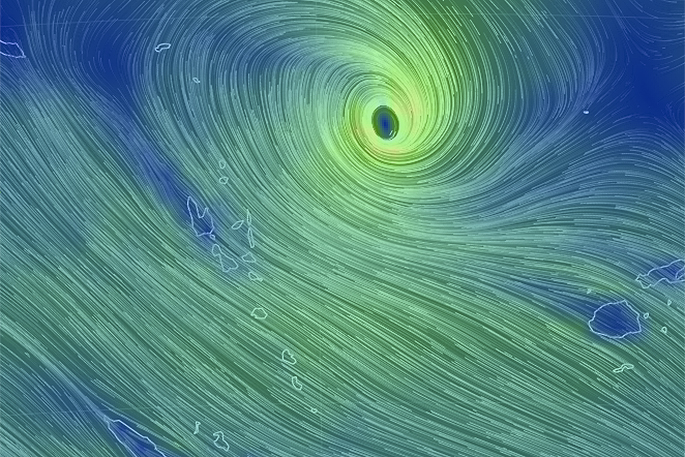
Tropical Cyclone Donna has formed east of Vanuatu and is a Category 1 cyclone, likely to reach Severe Category 3 status in the coming day or two.
Donna poses a serious threat to Vanuatu with the tracking likely to impact much of the nation as the storm intensifies, bringing flooding rains, damaging winds and damaging storm surges, says WeatherWatch.co.nz
'The cyclone is not overly large despite the power near the centre and at this stage isn't likely to impact Fiji to the east or Australia to the west. New Caledonia may get some rain and large seas.
'The Tropical Cyclone may also be short lived - possibly only lasting until the weekend when it falls apart as it drifts south towards the north of New Zealand.”
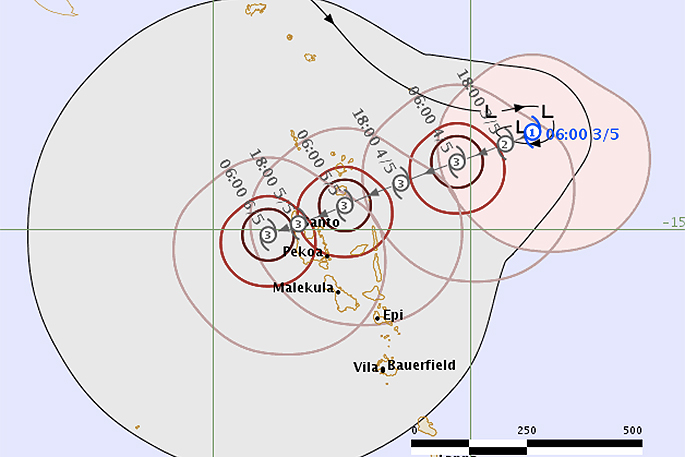 Current tracking and forecast Category levels of Donna over the coming days by Fiji Met.
Donna has formed outside the cyclone season which ended on Sunday, April 30. WeatherWatch.co.nz said back in March the set up this year meant the season was likely to extend into May, possibly even into winter.
Head forecaster Philip Duncan mentioned in Wednesday's Special 7 day outlook Weather Video (which can be viewed below) that the remnants of this tropical storm may merge with a Tasman Sea low midway through next week bringing a possible 'heavy rain event' to New Zealand.
'A storm is not expected in New Zealand at this stage, but a period of heavy rain is looking increasingly possible.
'It's too early to lock in if it will be enough of a threat to prompt rain warnings but it's one to monitor due to the forecast set up next week which may see blocking high pressure on either side of New Zealand, possibly helping to funnel and focus this tropical moisture-rich air over the Upper North Island in particular.”
More updates are expected early this afternoon.

1 comment
Very difficult to predict this stuff
Posted on 04-05-2017 10:58 | By Papamoaner
Let's hope it peters out
Leave a Comment
You must be logged in to make a comment.