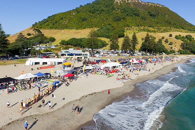
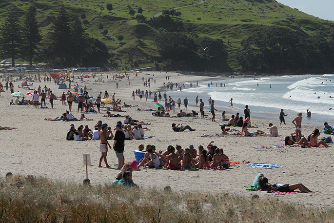
Temperatures this weekend maxed out at 33 degrees in Napier, but it was still perfect beach weather at Mount Maunganui for the Auckland Anniversary.
Metservice says the warm toasty days are going to continue during the next few days in the North Island at least. Tauranga is promised 25 to 27 degree C days, with a passing shower Thursday night.
Few places saw any rain, the exception being Fiordland and the southern West Coast where Milford Sound clocked up 124mm of rain during the two days.
But down south rain begins in earnest on the West Coast tonight as a front moves towards the country. A ridge of high pressure holds firm over the North Island, slowing the progression of the rain further north on Tuesday and Wednesday.
This slow motion means that as much as 180mm of rainfall could accumulate on the West Coast over the two days. Strong northwesterly winds ahead of the front will bump up temperatures in the east, but it could rise to severe gale in exposed parts of Canterbury, Otago and Marlborough later on Tuesday.
In the north the ridge of high pressure stays put, and although some rain will make it to the western and lower North Island on Thursday, the front is rapidly weakening by that point. There will be strong winds in the south, especially late Tuesday and Wednesday. The chance of any significant rain in the north and east is slim, although there will be more cloud around than at the weekend. Temperatures will be maxing at around 30 degrees in the Hawkes Bay from Tuesday onwards.
'This weather pattern due to occasional fronts weakening under a ridge, which is typical of New Zealand summer, is looking likely to hold into the coming Waitangi weekend” says meteorologist Tom Adams.

0 comments
Leave a Comment
You must be logged in to make a comment.