


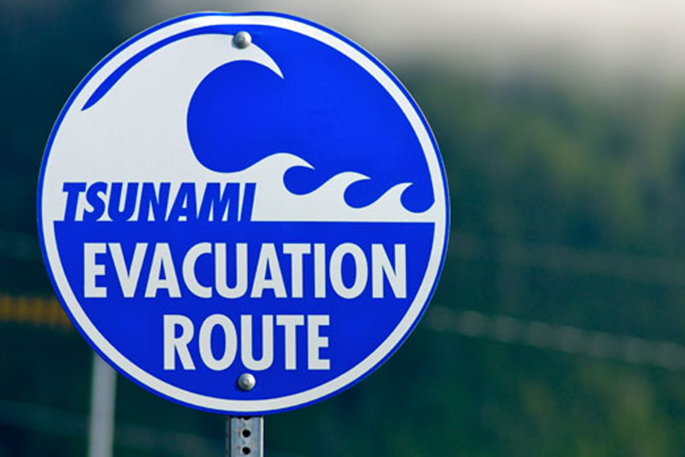
In the wake of the recent Kaikoura quake and subsequent tsunami alert, Waikato Civil Defence is updating the way it educates people about tsunami preparedness.
The advice uses new hazard maps and is particularly relevant given the ongoing potential for more big shakes and accompanying tsunami, plus New Zealand's geography and current conditions.
There's heightened uncertainty about the potential for another significant shake off the east coast of the lower North Island due to several slow-moving 'slip” earthquakes identified by GNS.
Waikato Group controller Lee Hazlewood says people need to remain aware of the potential for significant aftershocks or fresh quakes, as is the case at any time in New Zealand.
'Any significant quake off the lower eastern North Island brings with it the potential for tsunami, including along the east coast of our Waikato region. So, without wanting to overstate potential current risks, people do need to be prepared.
'People should, generally speaking, be ready at all times to take care of themselves for up to seven days after disasters.”
Waikato Civil Defence has been working with the Waikato Regional Council and local councils to proactively analyse risks faced by Waikato's coastal communities, including mapping of a number of coastal communities for inundation hazards to help people prepare themselves.
They're also making those maps available online so people can tell if they are in an area that doesn't need to evacuate due to a tsunami alert.
'When Civil Defence orders evacuations it will only call on people to evacuate if they are in areas susceptible to tsunami hazard, based on these maps. However, if people have any doubts about whether they are in such a susceptible zone they should evacuate regardless.
'By doing things this way, we can give people prompt warnings via alerting systems to evacuate, but people who are certain they don't need to leave can stay put, thus easing congestion on roads and minimising inconvenience.”
The maps of tsunami hazard zones will progressively be made available via the Waikato Regional Council website at: www.waikatoregion.govt.nz/Tsunamihazard/
IN THE EVENT OF AN EARTHQUAKE OR TSUNAMI
Waikato Civil Defence stresses that in the event of any significant quake people should 'drop, cover, hold” to help avoid injury. This makes you a smaller target, stops you being knocked over and protects your head, neck and vital organs.
While their general tsunami message for people in coastal communities is based around the long, strong, be gone theme.
If people feel an earthquake that rolls for more than a minute or makes it hard to stand up, don't wait for a tsunami warning. Move to high ground or as far inland as you can. Preferably, walk if you are able to keep our roads clear. Stay there until you get the all clear.
The Red Cross has also developed a hazard app which provides warnings to mobile phones and is available from the App store for iOS devices and on the Google Play store for Android devices.

0 comments
Leave a Comment
You must be logged in to make a comment.