A broad trough which is forecast to lie over the upper North Island late Sunday is expected to move away east on Monday, with showers and areas of rain from Northland through Bay of Plenty to Gisborne slowly clearing.
Meanwhile, an active front is expected to reach the South Island on Monday, then progress north over the country during Tuesday and Wednesday.
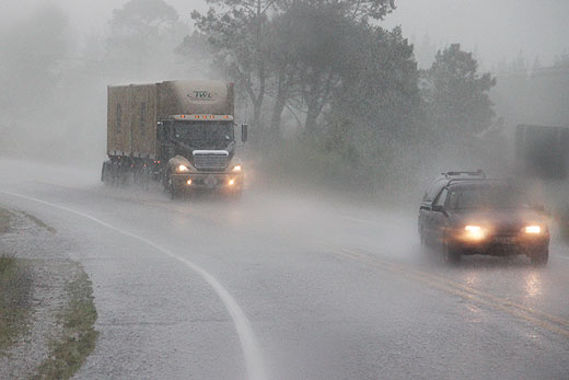
Rain and strong northwesterlies are expected to spread over the South Island on Monday ahead of this front, with cooler southerlies bringing some brief snow to the hill-tops early Tuesday. There is a high risk of heavy rain about Fiordland and southern Westland on Monday, with a moderate risk about the Canterbury and Otago headwaters. Please refer to the latest Warning and Watch.
In addition, northwesterlies gales are likely about inland Canterbury, Otago, Southland and the Fiordland Lakes, with a low risk of severe gales during this time.
On Tuesday, the front continues north, spreading rain into northern parts of the South Island and the lower North Island, especially about western areas.There is a moderate risk of heavy rain about northern Westland and Buller during this time, with a low risk about the Tararua and southern Ruahine Ranges, also about Taranaki, inland Whanganui, Taumarunui and Waitomo.
The front clears the North Island on Wednesday, with a ridge of high pressure spreading over the country. This ridge is forecast to remain slow moving on Thursday.

0 comments
Leave a Comment
You must be logged in to make a comment.