A 3D geological model has been developed so professional geotechnical and structural engineers can access geotechnical data shared by the Council.
A Whakatane Geotechnical Database has also been put in place so the above authorities and other engineers and their clients to share their own data in return.
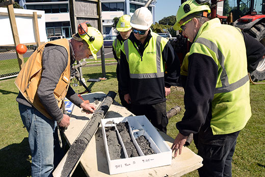
Geological information can now be shared via an online database.
This enables engineers to have access to a broader set of test results when considering design parameters and options, thereby increasing the quality and confidence of design and interpretation, says a statement from the Whakatane District Council.
The Whakatane Geotechnical Database and 3D Geological Model is for the benefit of the whole community.
In accessing and downloading data and geological scenes, there is an expectation that engineering users will contribute geotechnical site investigations logs and site investigation reports from work undertaken within the Whakatane District, says the council.
Templates for CPT and drillhole data are provided for engineers to use when undertaking and reporting on geotechnical investigations within the Whakatane District.
The templates prescribe the format the Council requires the data to be submitted in so that the database and model can be easily enriched over time.
Queries should be directed to [email protected]
The database and model is also available as an educational resource for schools, and to universities, and scientific institutions to allow them to provide better advice and analysis on geotechnical hazards to all parties, including private enterprise.
Access to the database and model is free to users.

0 comments
Leave a Comment
You must be logged in to make a comment.