UPDATED 1.32PM: The MetService has upgraded its severe weather watch for the Bay of Plenty and Coromandel to a warning.
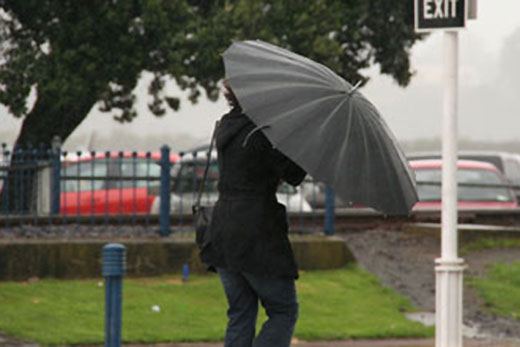
A complex trough is moving across the central North Island today, bringing rain to much of the North Island.
A further 20-30mm of rain is possible in Waikato on top of what has already fallen, while 50-70mm is expected for the Coromandel Peninsula and western Bay of Plenty.
Thunderstorms are also possible, says the MetService.
People are advised that this amount of rain has the potential to cause surface flooding, slips and streams and rivers to rise rapidly.
Heavy rain is expected to ease this evening. In the 8 hours between midday and 8pm Saturday, expect a further 50-70mm to accumulate on top of what has already fallen. Peak intensities of around 15mm per hour.
Earlier:
The MetService has issued a severe weather watch for the Bay of Plenty and Coromandel as a complex trough moves across the North Island.
The trough is expected lie just north of Bay of Plenty in the evening.
'This trough is likely to bring a burst of heavy rain to several areas about central New Zealand, the western North Island, Coromandel Peninsula and western Bay of Plenty,” says a statement from the MetService.
'There is still some uncertainty about the track of the trough and which areas will receive rainfall accumulations approaching short duration warning amounts (more than 50mm in 6hr).”
The Coromandel Peninsula and Bay of Plenty from about Rotorua westwards should see heaviest rainfall Saturday afternoon and evening between about 1pm and 10pm.
In all these areas it is possible that 30-40mm of rain may fall in 3 to 4 hours, which could cause localised surface flooding, especially in urban areas.

0 comments
Leave a Comment
You must be logged in to make a comment.