Sea-Surface-Temperatures in the equatorial Pacific Ocean have crossed the El Nino threshold after increasing through November 2014.
Niwa reports the chances of El Nino developing over the December 2014 to February 2015 period at about 75 per cent, which is a sharp increase from outlooks issued last month.
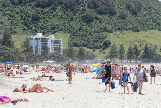
El Nino's return is not expected to affect the summer, yet.
Sea Surface Temperatures are 0.7C above normal. Subsurface ocean temperatures are also currently about four degrees warmer than normal at about 100 to 150 m depth in the eastern Pacific around.
El Nino is the warm phase of the El Nino Southern Oscillation and is associated with a band of warm ocean water that develops in the central and east-central equatorial Pacific between the International Date Line and 120°W, including off the Pacific coast of South America.
El Nino is accompanied by high air pressure in the western Pacific and low air pressure in the eastern Pacific. The cool phase of the southern oscillation is called La Nina, with SST in the eastern Pacific below average and air pressures high in the eastern and low in western Pacific. The cycle causes global changes in temperatures and rainfall.
Despite signs of a weak El Nino, Niwa reports the atmosphere has fully shifted to El Nino conditions. Patterns of convection and rainfall are lower than expected in the central Pacific.
For New Zealand, El Nino events are typically associated with stronger and/or more frequent westerly winds. Such a climate pattern usually leads to drier conditions in eastern areas and more rain in western areas of the country.
The modelling indicates normal rainfall is the most likely outlook for all regions of New Zealand, although a significant chance (35 per cent) for below normal rainfall is present for the east of the North Island.
Sea water about the New Zealand coast remains slightly warmer than average around the South Island, and close to normal or slightly cooler than normal around the North Island. Ocean models forecasts indicate that SSTs are likely to be close to normal around the country over the next three months.
For Northland, Auckland, Waikato, Bay of Plenty temperatures are most likely (45% chance) to be near average. Rainfall totals are most likely (45% chance) to be in the normal range. Soil moisture levels and river flows are about equally likely (40-45% chance) to be in the near normal or below normal range.
During December 2014 – February 2015, lower pressures than normal are forecast over the New-Zealand region. This pressure pattern is expected to produce a weak southwesterly flow anomaly with perturbed conditions from time to time.

0 comments
Leave a Comment
You must be logged in to make a comment.