A cooler than usual September is expected for all regions of the country.
Since the middle of winter, New Zealand has been running on colder temperatures than normal due to a higher frequency of south-westerlies and cooler than usual seas around our coastline.
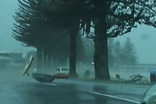
This year's winter has been the wettest on record. Photo: File.
'This is a standard El Nino for us,” says MetService meteorologist Georgina Griffiths.
'After an extremely wet winter for the west and south of the South Island, and between Taranaki and the Kapiti Coast, many people are keen to know how the start of spring might unfold.”
It was the wettest winter on record for Hokitika Airport, with 1092mm of rain observed – around 150 per cent of what is considered normal for winter.
Record-breaking winter rainfall was also experienced at Palmerston North, who clocked up the wettest winter since records began in 1943, and Wanganui, who registered the fourth-wettest winter since observations started in 1890.
'After a stormy start to September, we should then see a progressive shift towards more highs over the country.” Says Georgina.
'The first week of the month should produce significant rain for all regions of the country, including useful rain into the relatively dry eastern areas.
'But for the remainder of the month, normal-to-below normal rainfall is predicted for all areas.”

1 comment
Cooler temperatures
Posted on 04-09-2015 03:20 | By Kenworthlogger
Yes thats right folks cooler than normal. So much for the green house effect, oh wait what do we call it now, global warming. What a joke.
Leave a Comment
You must be logged in to make a comment.