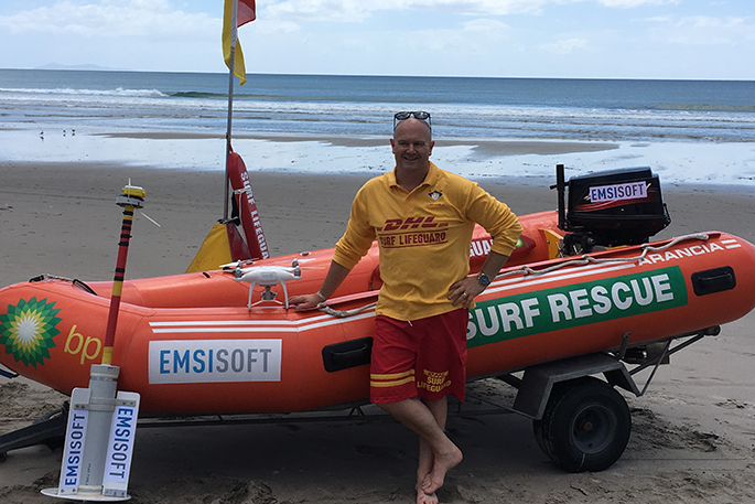
Surf Life Saving New Zealand and software company Emsisoft are teaming up on a new project to map currents and rips at key New Zealand beaches this summer.
In 2015, seven people drowned as the result of a rip and every year lifeguards make an average of 1200 rescues – with about 85 per cent of those rescues being a result of rips.
This new project will use ‘drifters' to plot GPS data and drones to accurately map rip currents and their behaviours. This will measure the physical layout of the headland rip current across a range of different swell, tidal and wind conditions during a six week period on selected beaches.
SLSNZ national lifesaving manager Allan Mundy says up until now data on currents have been mapped from 500m off-shore, but this new project will provide more accurate data which in turn will lead to a better understanding of the workings of rip currents at different locations.
'If someone should get swept away in a rip, having the knowledge and understanding of the currents in that particular location will help narrow down the search area.”
The data collection will involve a collaboration of SLSNZ lifeguards and Coastguard NZ personnel to carry out the deployment and retrieval of the GPS drifters, which can easily replicate a swimmer within a rip current due to their weight and drifting nature.
Half of the drifters will be modified so they sink below the water's surface to mimic how a body behaves once it becomes submerged after a drowning, says Allan.
'This data will be priceless, as it will help searchers better identify where to look for lost people in the benthic current, the current on the bottom of the sea floor, which we don't currently have data on.
'Dyes and similar drifters used in the past have only been observed within surface currents which often flow in very different directions to the currents on the sea floor.”
The information gathered through the project will be added to a database which will assist in future current predictions during lost person's searches and the method will be used to set a data standard for future research on additional sites around the country.
'It's a really good use of technology that will help provide valuable data and benefit many different search and rescue operations, helping to lead searchers to patients much quicker,” says Allan.

0 comments
Leave a Comment
You must be logged in to make a comment.