A new channel has been marked to improve high-tide travel across the shallowest part of Tauranga Harbour between Matakana Point and Matahui Point.
The usual central channel through the harbour has become increasingly shallow and is no longer navigable for around half of the tide, says Bay of Plenty Regional Council Harbourmaster Peter Buell.
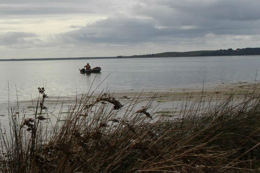
The new channel is designed to improve high-tide travel between Matakana Point and Matahui Point. Photo: File.
'Another channel has formed which remains accessible for at least another hour either side of the tide cycle,” adds Peter, 'so we've marked that up with port (round, red) and starboard (round, green) buoys.
'The new channel doesn't give all tide access. It's only navigable for about four hours either side of high tide, but we'll be monitoring it to see if that improves over time.”
The old channel markers will be left in place for now but may be removed in time if the old channel shoals further.
For boat operators travelling up the harbour north of Omokoroa towards Bowentown, the new channel branches off to the west at the ME 15 channel marker and re-joins the existing channel at marker MW 29.
'We urge boat owners to continue to take great care when navigating through the harbour,” says Peter.
'Channels and sandbanks are dynamic and it's easy to get caught out on any tide.”
The Regional Council Harbourmasters Office can be contacted for updates on channel changes and harbour conditions by calling: 0800 884 880.

0 comments
Leave a Comment
You must be logged in to make a comment.