


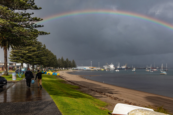
Bay of Plenty residents can expect a largely settled start to the week before a cold front sweeps up the country, bringing rain, stronger winds and cooler temperatures by Thursday.
In a media release, MetService said spring had well and truly arrived but winter was not finished just yet, with a burst of cold air set to move north across New Zealand later this week.
Eastern Bay of Plenty could see a few showers on Monday, but much of the region was forecast to enjoy dry weather and sunny spells through Tuesday and Wednesday.
The change arrives on Thursday when a cold front moving north from the South Island reaches the North Island, bringing wetter conditions and strengthening winds to many areas, including Bay of Plenty.
MetService meteorologist Maddy Neal said the front would mark a sharp change after several days of relatively mild spring weather.
“Despite being well into spring, winter isn’t quite finished with us yet,” Neal said.
While the most dramatic impacts are expected in the South Island, where snow is possible at higher elevations and temperatures are forecast to plunge, Bay of Plenty residents can expect a noticeable drop in temperatures as the front moves through.

The weather system is expected to push through the North Island on Thursday, reaching Northland later that day before gradually weakening by Friday.
The cold snap comes after warm northwesterly winds lift temperatures across parts of the country earlier in the week.

0 comments
Leave a Comment
You must be logged in to make a comment.