A severe weather watch is being issued for Tauranga as the region experiences the first heavy rain in weeks.
MetService forecasters are predicting rain for the Bay of Plenty through to the weekend.
An unsettled low moving across the region is bringing rain tonight, continuing tomorrow through the weekend.
About 100 to 140mm could fall in the next 24 hours, especially in the Eastern Bay of Plenty, starting tonight, reports the MetService.
MetService media and communications meteorologist Dan Corbett says it's quite a complex and messy weather pattern at the moment.
'But it's safe to say for many of us the raincoat will get some good use over the next several days.
'A broad area of low pressure over the North Island, along with unstable air and a couple of remnant fronts across central areas, will help bring the risk for further showers to most areas except the far south.”
Dan says daytime heating could also help trigger some thunderstorms across central parts of the North Island. A new rainmaker will spread down across the country from the northeast during late Friday into early Saturday.
'Any leftover showers with this system will ease slowly during Saturday and a new weather system will spread another spell of rain in from the west on late Sunday and Monday.
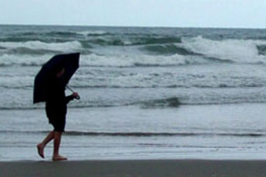
'Whilst a relief for agriculture, the royal visitors are expected to need the umbrella, with wet weather possible for their visits to Auckland and the Waikato.”

0 comments
Leave a Comment
You must be logged in to make a comment.