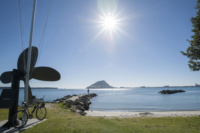
A persistent ridge of high pressure has brought warm temperatures and settled weather to much of the country over the past week – punctuated in some places by severe thunderstorms.
Although the rule of thumb ‘high pressure means fine weather' is serviceable in many situations, the combination of light winds and warmer than average maximum daytime air temperatures this week produced favourable conditions for thunderstorms.
Severe thunderstorms were observed in several locations causing localised flash flooding. In addition, there were almost 40,000 lightning strikes detected this week. Conditions are considerably less favourable for thunderstorms today – the main risk areas being confined to the Gisborne ranges and western Northland – and tomorrow we are not expecting any.
'It's good news for the working week. The ridge is set to persist until Friday, which means a continuation of warm, settled weather,” says MetService meteorologist Ciaran Doolin.
'Conditions are looking less favourable for thunderstorm development this week than last, although isolated showers are likely to continue to affect inland and higher ground areas during the afternoons and evenings.”
However, a slow-moving front is forecast to spread some rain over the far south, mainly in Fiordland, during Monday and Tuesday before weakening.
'Long story short, sun should be the prevailing condition across much of the country.”
During Friday the ridge starts to move east of the country as a north-westerly flow builds over the South Island. Rain, with some heavy falls in the west, spreads onto the far south and southern Westland.


0 comments
Leave a Comment
You must be logged in to make a comment.