The Bay of Plenty might have dodged today's weather bomb – but the Metservice is warning there's another nasty one coming on Sunday.
Metservice forecaster Cameron Coutts says the Bay portion of the weather front, which caused mayhem around Wellington this morning, passed over the region with showers falling at about 11.30am.
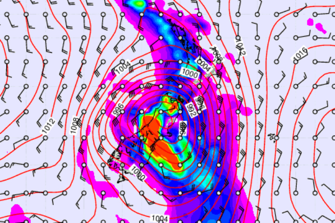
'Basically it's just about through you what you are going to get. The low deepened pretty rapidly as expected and passed over the south island and it is now away to the south east.
'The associated front swept up onto the North Island this morning and is now in the process of crossing the Bay of Plenty. You may get a few more spots but on the whole there's not too much with it up your way. There's been the odd thunderstorm, they are pretty random as well.”
But Cameron says Sunday's morning's storm will be more intense.
'Sunday's low is another quite nasty looking beast. It moves out over the western Tasman Sea late on Friday, and by sort of midnight Saturday should be somewhere just west of the south island, again bringing cloud, rain, and strongish winds.”
There's another burst of rain with this one, possibly more than today's system, says Cameron. It is expected early on Sunday and could bring 10-20mm of rain with a ‘quite a breezy northerly' and then a quite strong south westerly and becoming fine.
'But on the whole Saturday should be pretty good.”

1 comment
wrong again
Posted on 20-01-2017 08:50 | By Captain Sensible
So..the Met service was wrong...again.
Leave a Comment
You must be logged in to make a comment.