Has the street where you live changed over the years?
Perhaps it's gone from just having a few houses to having many – or maybe it didn't even exist 50 years ago.
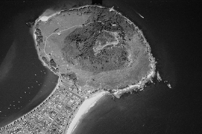
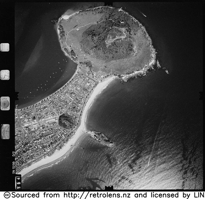
Now there's an interesting and easy way to find out. A new website shows how much the Bay of Plenty region has changed over the years through aerial photography.
Bay of Plenty Regional Council and key partners Waikato Regional Council, Hawkes Bay Regional Council and Environment Canterbury have created a new website called Retrolens which provides free access to thousands of aerial photographs taken from the 1930s to the mid-2000s.
BOPRC Geospatial team leader Glen Clarkin says Retrolens is a great project for the regional council to be part of, as it means the public can easily access some of the photos it holds, which would otherwise sit on a shelf and gather dust.
'By collaborating with the other councils we've been able to create a great public resource that would have been otherwise unaffordable had each Council tried to do it on their own,” he says.
'Historic aerial imagery is incredibly important for a variety of reasons, including showing changes in land use, identifying where dangerous chemicals may have been used, showing coastline changes, and archaeology and cultural research.
'It's also a fun tool for people to use to see what the land around them looked like decades ago, and visitors to the site can download a copy of the image for their own use.”
Bay of Plenty residents interested in seeing other useful information presented on maps or in a geospatial format can also visit http://maps.boprc.govt.nz. Marae locations, mooring areas, soil information and bus routes can all be viewed on the Regional Council's Maps site.
The images on RetroLens are sourced from a parallel project which is digitising the Crown's archive of historic aerial photos to preserve them.
The funding partners for the national digitisation project with Land Information New Zealand are: Auckland Council, Bay of Plenty Local Authority Shared Services, Environment Canterbury, Hawkes Bay Regional Council, Environment Southland, Tasman District Council and Waikato Local Authority Shared Services.

0 comments
Leave a Comment
You must be logged in to make a comment.