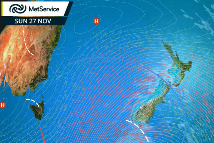
A breezy start to the week is predicted for Tauranga as isobars bunch up across the country because of a low to the south of New Zealand.
Severe gusts that have plagued southern parts of the country are expected to ease this afternoon says MetService Meteorologist Claire Flynn.
'Northwest winds could still be strong, though the gusts will no longer be severe.”
Severe Weather Warnings were in force for gusts of 130 km/hr in Wellington and Wairarapa, and a Watch is in force for Kapiti Coast. Gusts of 126 km/hr had been recorded in the suburb of Kelburn, and 133 km/hr on the Rimutaka Hill Road on Sunday morning.
In Tauranga westerlies are expected to ease today, but resume in strength tomorrow morning.
A Severe Weather Watch is in force for the possibility that southwest gales could become severe for parts of Southland and Clutha through to Monday morning. The Watch also advises of large rainfall accumulations on the ranges of Buller and the Tararua Range through to Sunday evening.
Meanwhile, a cool west to southwest change has meant that late November snow has fallen on some of the higher roads in the South Island. Milford Road was closed on Sunday morning due to snow, and snow was also reported on the Crown Range Road.
'Snow on these higher roads in late November isn't something that happens every year, but it isn't unheard of either,” says Claire.
Looking ahead into next week, showers should be gradually easing or clearing on Monday, and temperatures will return to average down south. A front is expected to move up the South Island on Tuesday, bringing rain with some heavy falls to the west, and a few showers to the east. The front then gradually moves on to the North Island on Wednesday, bringing a period of rain to the west and a few showers to the east. However, a ridge of high pressure begins to build over the country, causing the front to weaken, and bringing largely settled weather later in the week.
Official Severe Weather Watches and Warnings are reviewed and re-issued by MetService at least every twelve hours, and more often if necessary. To get the most up to date information on severe weather around the country, or any other forecasts, see metservice.com or on mobile devices at m.metservice.com. You can also follow our updates on MetService TV, at MetService New Zealand on Facebook, @metservice and @MetServiceWARN on Twitter and at blog.metservice.com
MetService issues Warnings, Watches and Outlooks for severe weather over New Zealand.
Warnings are about taking action when severe weather is imminent or is occurring. They are issued only when required.
Recommendation: ACT
Watches are about being alert when severe weather is possible, but not sufficiently imminent or certain for a Warning to be issued. They are issued only when required.
Recommendation: BE READY
Outlooks are about looking ahead, providing advance information on possible future Watches and/or Warnings. They are issued routinely once or twice a day.
Recommendation: PLAN

0 comments
Leave a Comment
You must be logged in to make a comment.