Overnight lows in the Bay are set to drop once the rain clears from the region.
Temperatures are expected to drop to around 12-11 degrees tonight and tomorrow night, before dropping to 8-5 degrees in the weekend.
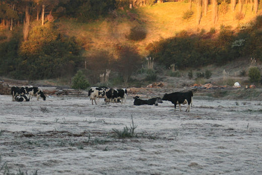
The MetService is forecasting some chilly mornings once the rain clears. Photo: File
The MetService says a complex low pressure system over the Tasman Sea is poised to lash northern and central parts of the country today and Friday, before moving away to the east over the weekend and making way for a calming ridge of high pressure. MetService has issued severe weather warnings and watches for heavy rain and southeast gales, which are likely to affect northern and central parts of New Zealand.
'Some wild weather is likely to affect northern and central parts of the country through to Saturday, so people should check forecasts and severe weather information before planning outdoor activities,” says meteorologist Peter Little.
'In addition, large waves are expected to pound eastern coasts of the North Island over the weekend, so those planning to be on or near the water need to take extra care.” Temperatures are expected to take a dive on Friday as cooler air pushes over the country from the south.
'A period of snow is likely about the ranges from Marlborough to Hawke's Bay. Although this is good news for the snow base at the ski fields, travelers planning on using higher roads such as the Desert Road may be affected for a time by snow and strong winds.” As the low moves away to the east over the weekend, a ridge of high pressure builds over the South Island.
'Skies clear and winds ease as the ridge builds, with frosty mornings likely across the South Island,” says Peter.
'The weather gradually clears over the North Island by the beginning of next week, with frosts also likely about inland places.”

0 comments
Leave a Comment
You must be logged in to make a comment.