Tauranga recorded 20mm or more of rain in one hour resulting in surface flooding in places this morning as a deluge of rain hit the region.
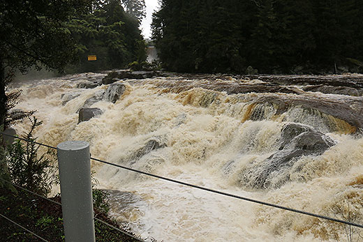
McLaren Falls was raging after the dumping of rain last night and the extra bit of wet stuff this afternoon.
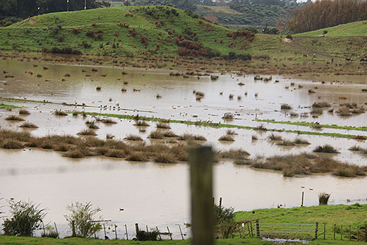
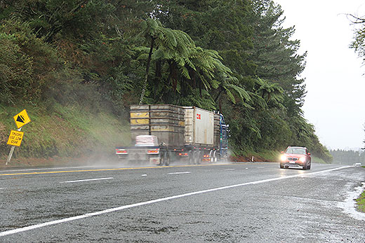
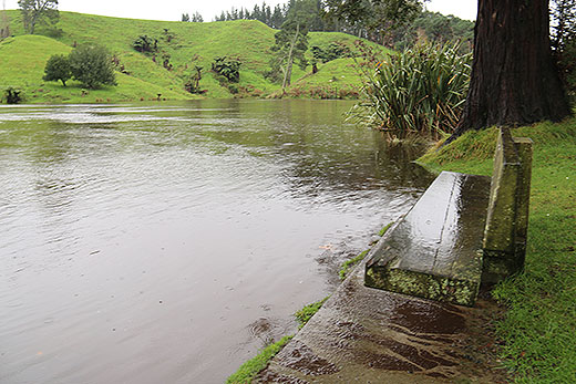
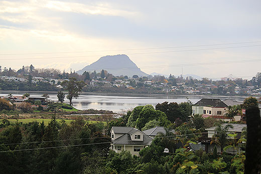
Rain has caused flooding around the Bay of Plenty. Photos: Daniel Hines.
The MetService is forecasting rain to move out of the Bay tomorrow to make way for a relatively fine day.
It will only be a brief respite, as more rain is forecast for Saturday.
'Tomorrow there will be a brief respite to the wet weather, before a low pressure system in the Tasman Sea spreads a strong, moist northerly flow over the country on Saturday,” says MetService meteorologist Ciaran Doolin.
Much of the country is affected by showers or periods of rain today, with thunderstorms possible in western areas of central New Zealand.
Tomorrow the showers clear from the South Island and become confined to the west of the central North Island, while it becomes mostly fine elsewhere.
On Saturday, periods of rain with heavy falls and possible thunderstorms are expected for the northern and western parts of the country, with scattered falls spreading further east later in the day.
'Into Sunday, most areas across the country see periods of rain. Heavy falls are possible, especially eastern Otago and South Canterbury, along with northwest Nelson and the central North Island,” says Ciaran.
'Depending on the final track of the low – and there is still some uncertainty in the computer models – the ski fields about the Southern Lakes may see some snow on Sunday and into Monday, as the low brings relatively cooler air in from the southeast, lowering the freezing level.”
Large waves of 4-5m associated with the low are expected to affect western beaches from Buller northwards on Sunday.

0 comments
Leave a Comment
You must be logged in to make a comment.